Photo credits
Every photograph and film clip on this website, its author and its license.
Home and shared
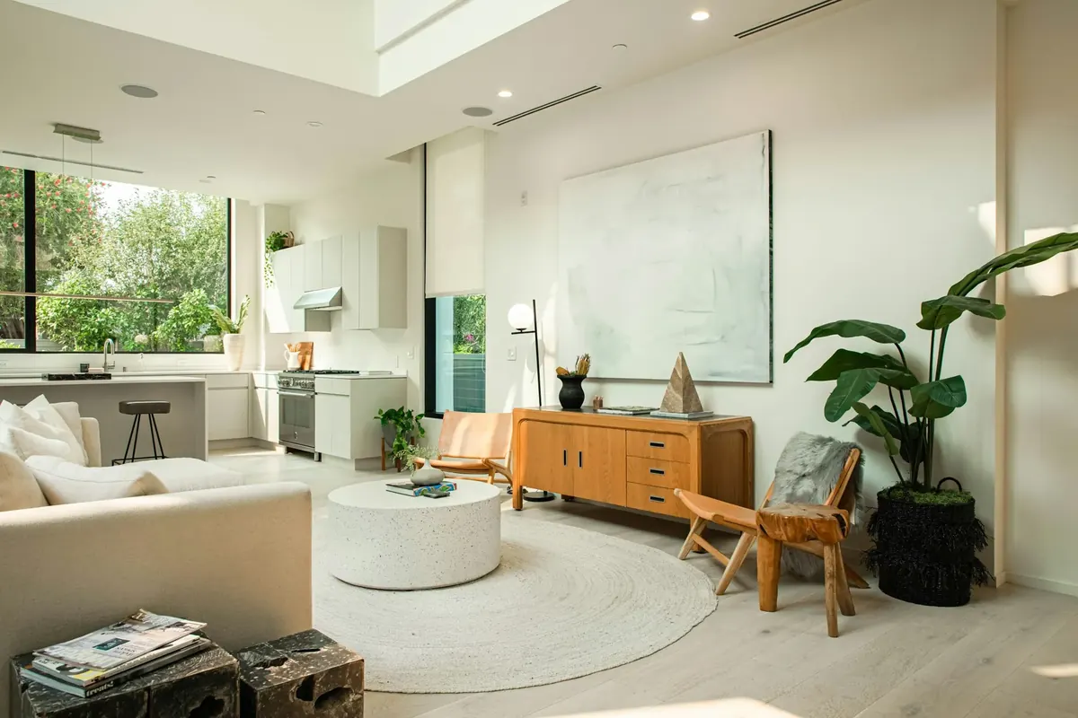
Brown wooden chair beside white table
Cat Han
Unsplash License (opens in a new tab)
Source (opens in a new tab)Resized to 2000px wide and converted to WebP. No color or sky edits.
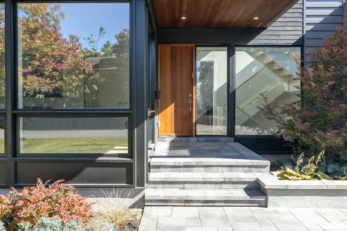
A building with glass windows
Point3D Commercial Imaging Ltd.
Unsplash License (opens in a new tab)
Source (opens in a new tab)Resized to 2000px wide and converted to WebP. No color or sky edits. On phones, a 4:5 crop of the full height is shown.

Beach at Waughop Lake
PinchyCC
CC BY 4.0 (opens in a new tab)
Source (opens in a new tab)Resized from 5712px to 2400px wide and converted to WebP and AVIF. No color or sky edits.
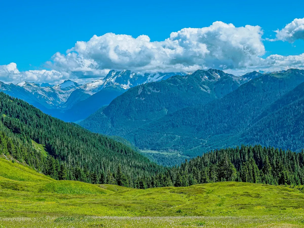
Green trees on green grass field near mountain under white clouds and blue sky during daytime
Pavł Polø
Unsplash License (opens in a new tab)
Source (opens in a new tab)Resized and converted to WebP. No color or sky edits.
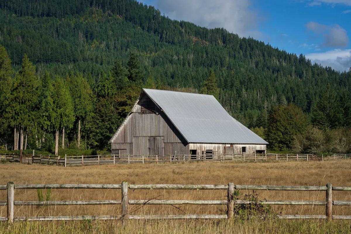
Gray wooden house near the mountain
John Callery
Pexels License (opens in a new tab)
Source (opens in a new tab)Converted to WebP and AVIF. No color or sky edits.
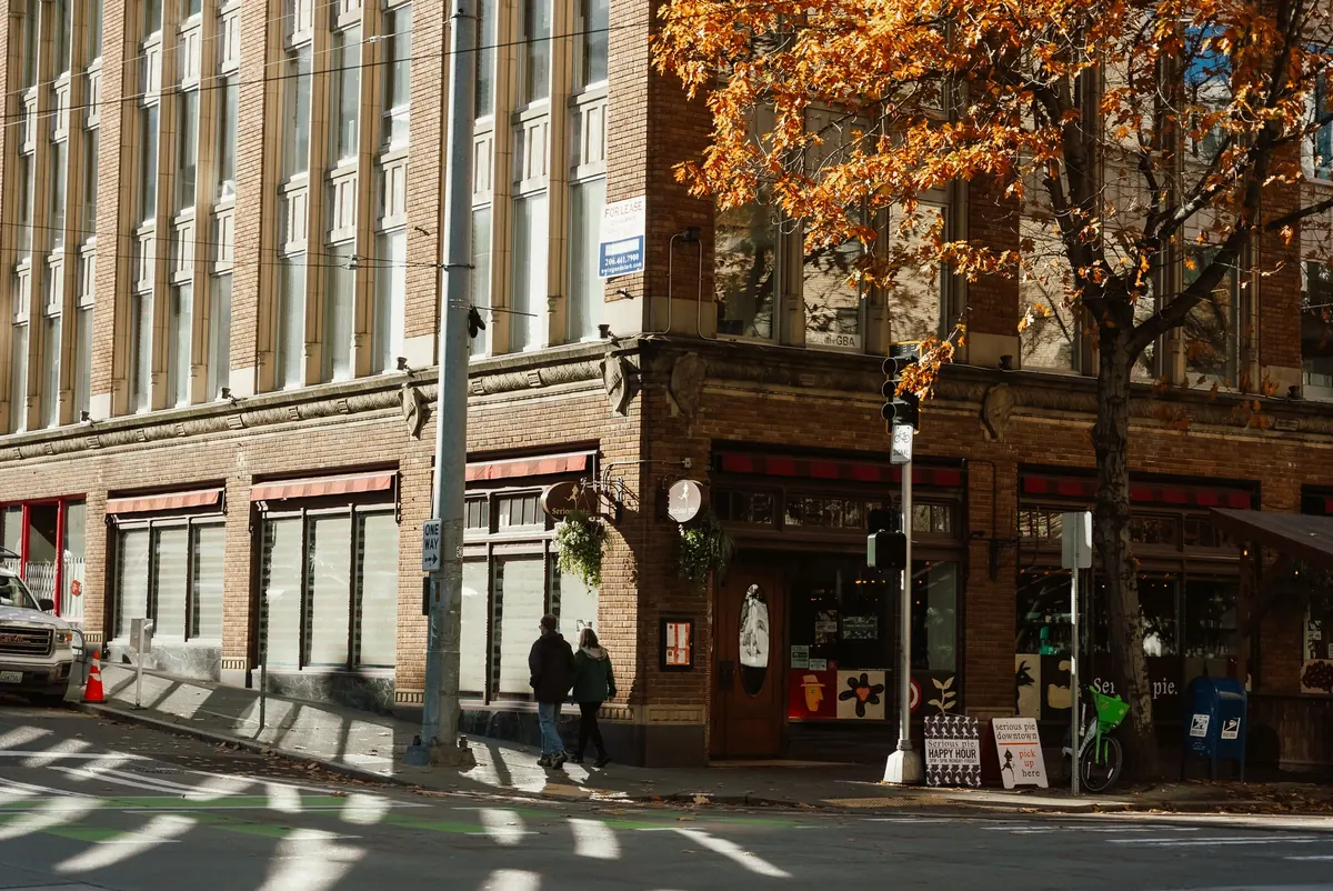
Corner building in autumn Seattle street scene
Josh Hild
Pexels License (opens in a new tab)
Source (opens in a new tab)Converted to WebP and AVIF. No color or sky edits.
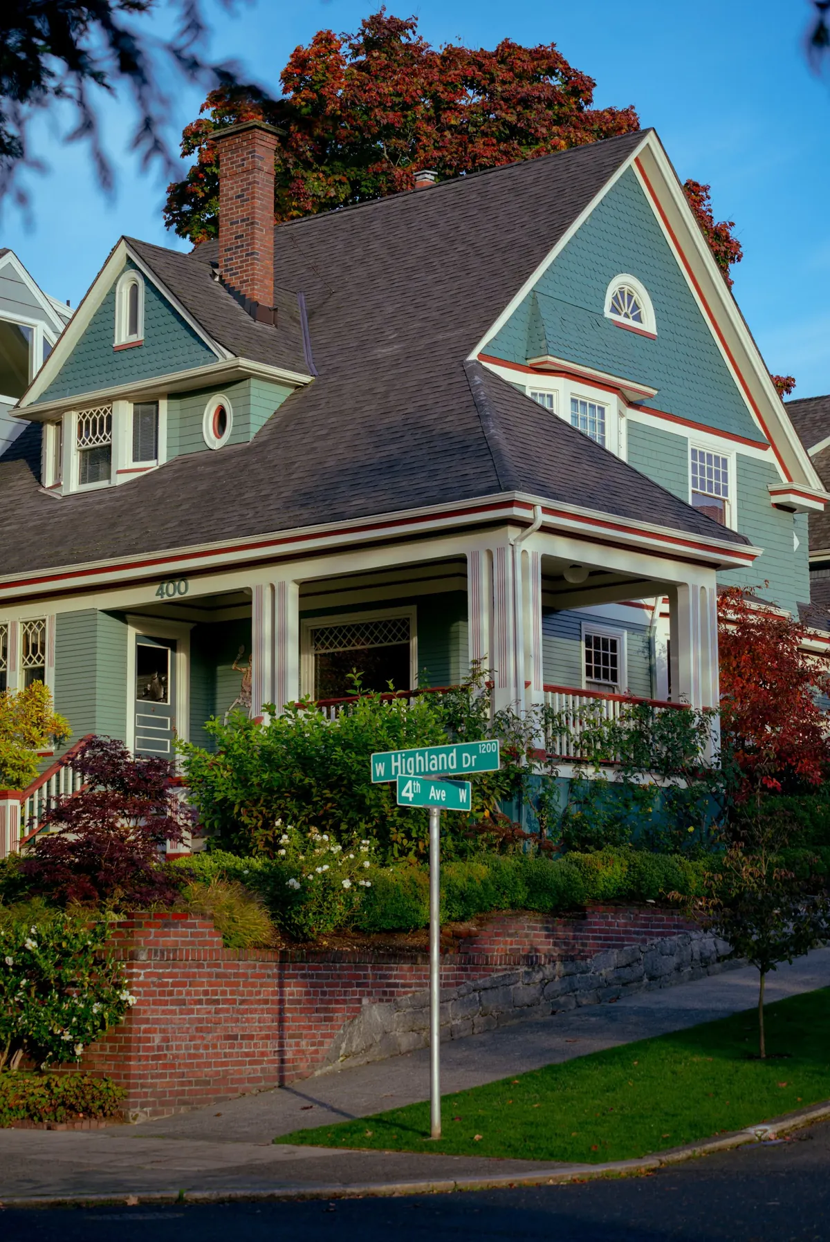
House Building on Suburbs
Maksim Romashkin
Pexels License (opens in a new tab)
Source (opens in a new tab)Resized and converted to WebP. No color or sky edits.
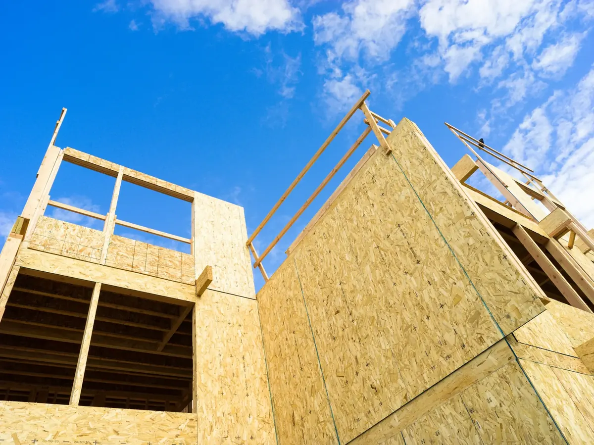
Gray concrete building under blue sky during daytime
Kier in Sight Archives
Unsplash License (opens in a new tab)
Source (opens in a new tab)Resized to 2000px wide and converted to WebP. No color or sky edits.
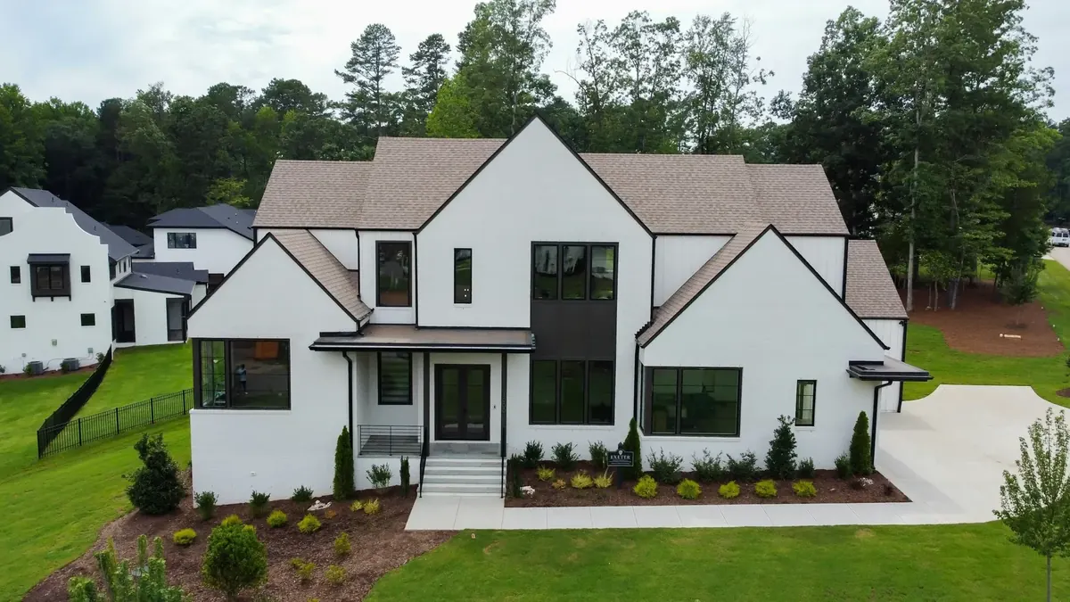
White house with dark windows and evergreens
Tyrone Sanders
Unsplash License (opens in a new tab)
Source (opens in a new tab)Resized and converted to WebP. No color or sky edits. On phones, a 4:5 crop of the full height is shown.
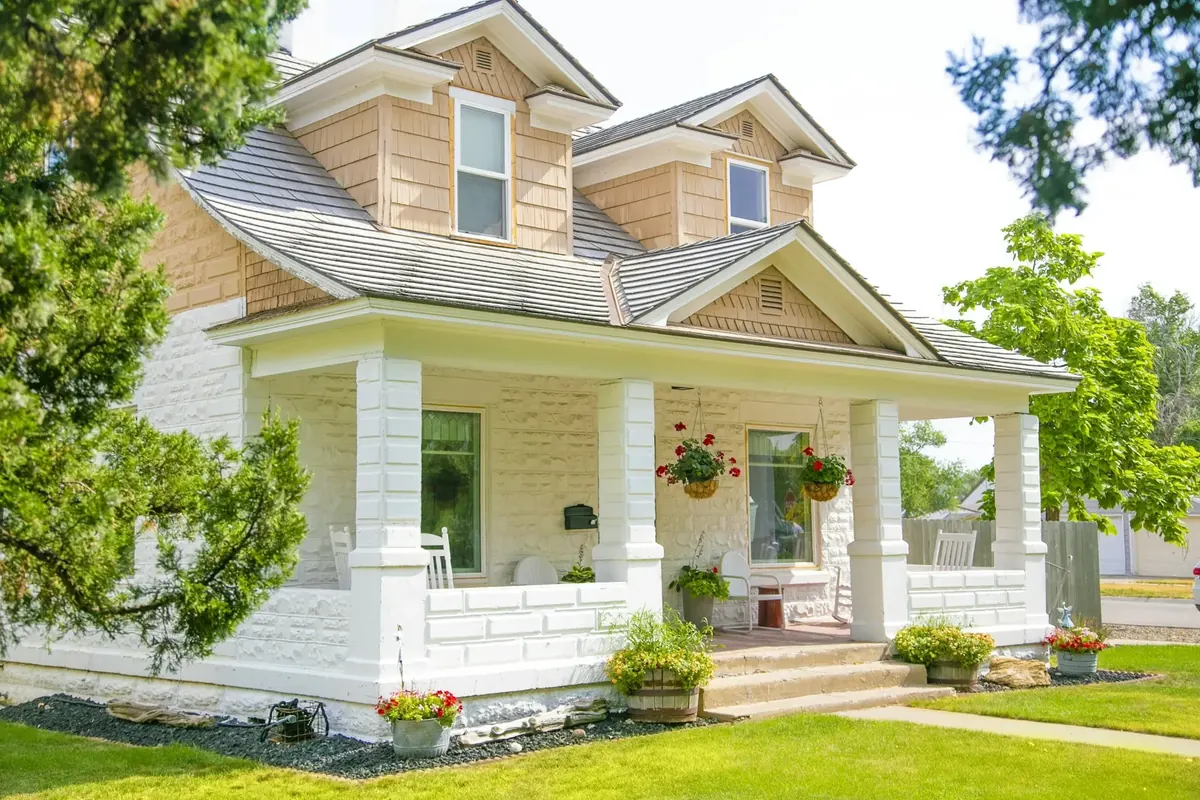
White and brown concrete house
Ian MacDonald
Unsplash License (opens in a new tab)
Source (opens in a new tab)Resized and converted to WebP. No color or sky edits.
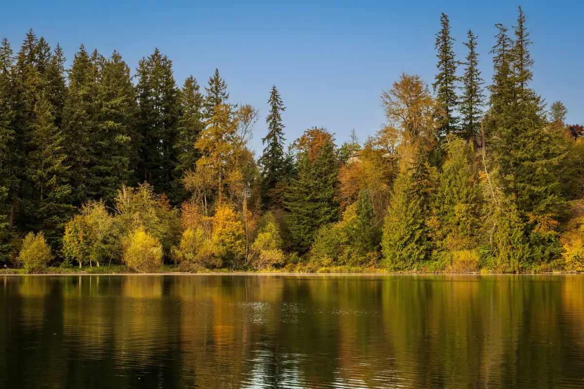
Autumn Reflections at Maple Valley Lake
William Jacobs
Pexels License (opens in a new tab)
Source (opens in a new tab)Resized to 2400px wide and converted to WebP and AVIF. No color or sky edits.
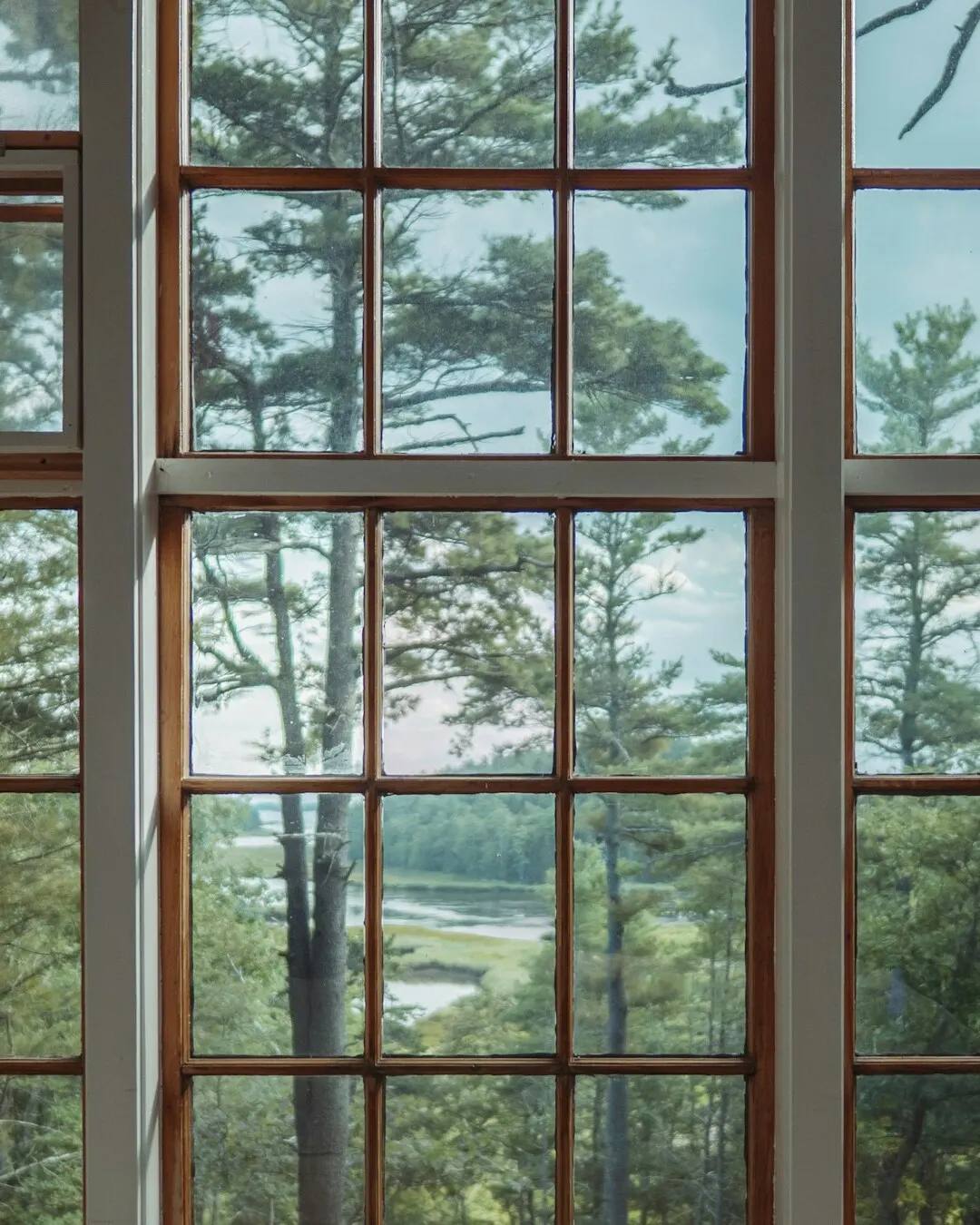
Brown wooden framed glass window
Mark Olsen
Unsplash License (opens in a new tab)
Source (opens in a new tab)Cropped to 4:5 and converted to WebP and AVIF. No color or sky edits.
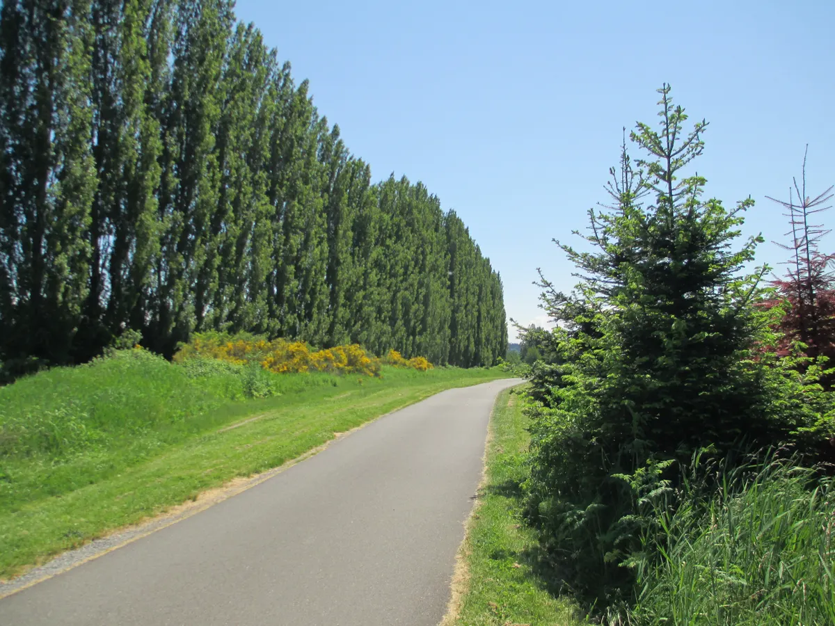
A break in the bicycle traffic along the Sammamish River Trail (7319121370)
Robert Ashworth
CC BY 2.0 (opens in a new tab)
Source (opens in a new tab)Converted to WebP and AVIF at 480 to 2304px. No color or sky edits.
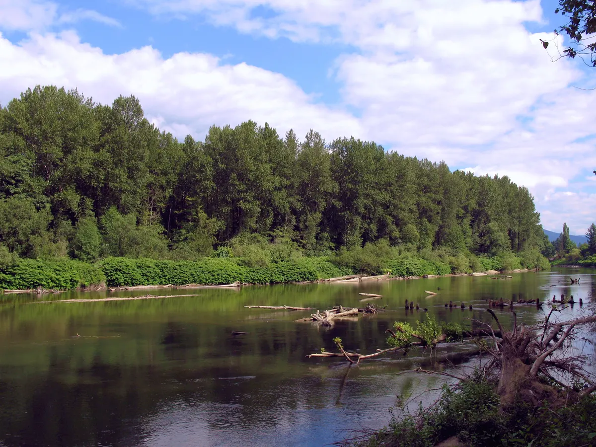
Snoqualmie River - panoramio
loggedout (Panoramio)
CC BY 3.0 (opens in a new tab)
Source (opens in a new tab)Converted to WebP and AVIF at 480 to 2400px. No color or sky edits.
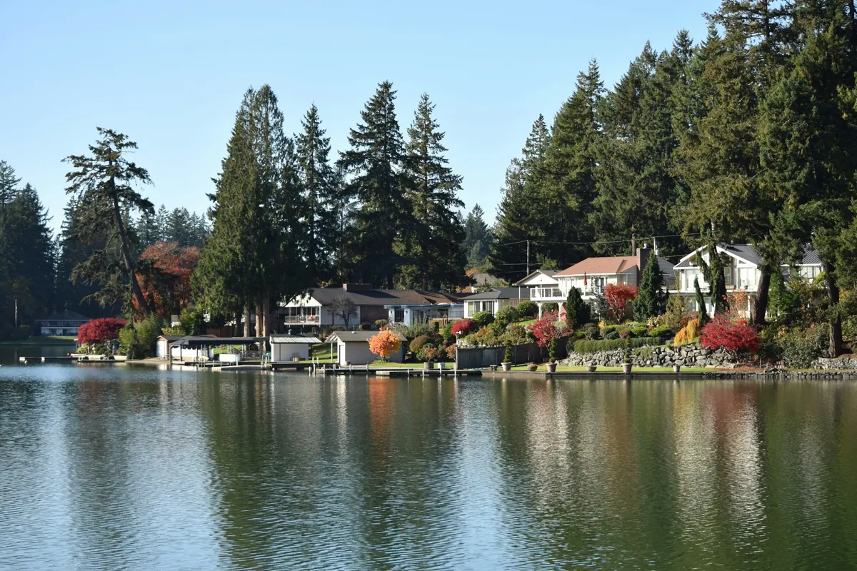
A body of water surrounded by trees and houses
fr0ggy5
Unsplash License (opens in a new tab)
Source (opens in a new tab)The Buy opening photograph, shown in a picture door. Resized and converted to WebP and AVIF. No color or sky edits. On phones, a 4:5 crop of the full height is shown.
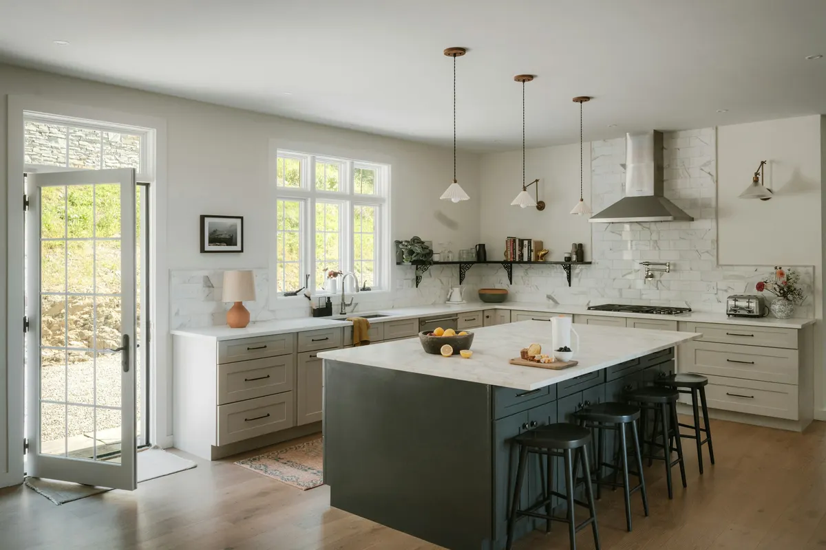
Modern kitchen with island and stainless steel appliances
Clay Banks
Unsplash License (opens in a new tab)
Source (opens in a new tab)Converted to WebP and AVIF. No color or sky edits.
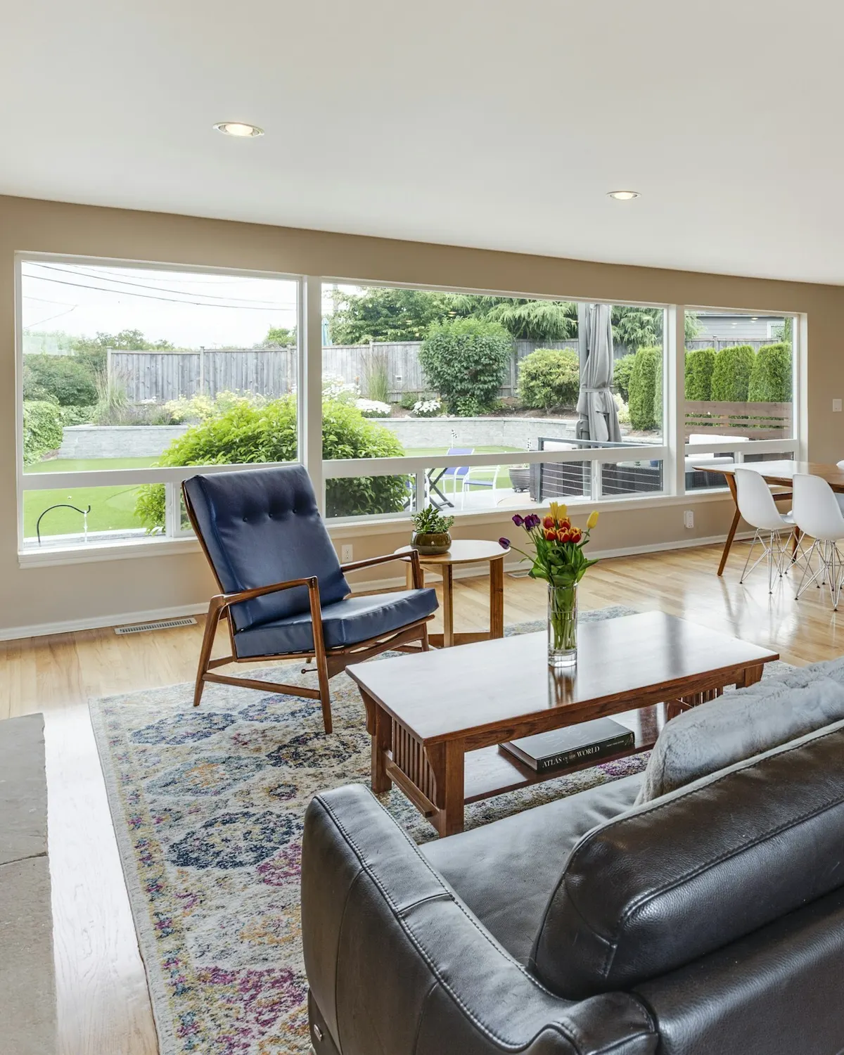
Brown leather couch in front of brown wooden coffee table
Francesca Tosolini
Unsplash License (opens in a new tab)
Source (opens in a new tab)Cropped to 4:5 and converted to WebP and AVIF. No color or sky edits.
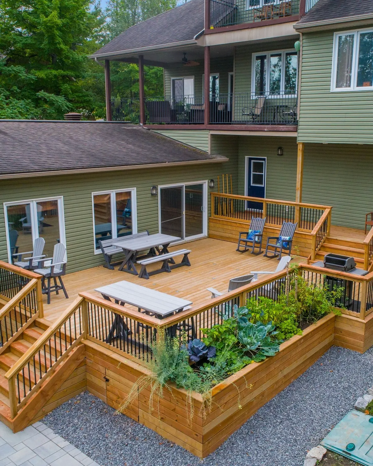
A deck with chairs and tables on it and a deck with plants
Point3D Commercial Imaging Ltd.
Unsplash License (opens in a new tab)
Source (opens in a new tab)Cropped to 4:5 and converted to WebP and AVIF. No color or sky edits.
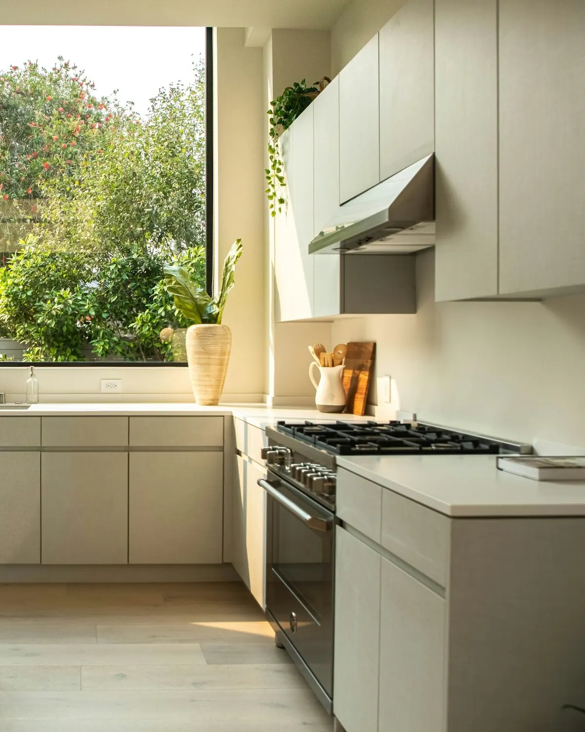
Modern kitchen with island and large window
Cat Han
Unsplash License (opens in a new tab)
Source (opens in a new tab)Cropped to 4:5 on the right side of the room and converted to WebP and AVIF. No color or sky edits.
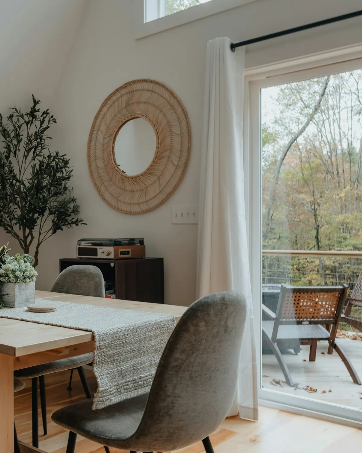
A dining room table with chairs and a potted plant
Clay Banks
Unsplash License (opens in a new tab)
Source (opens in a new tab)Cropped to 4:5 and converted to WebP and AVIF. No color or sky edits.
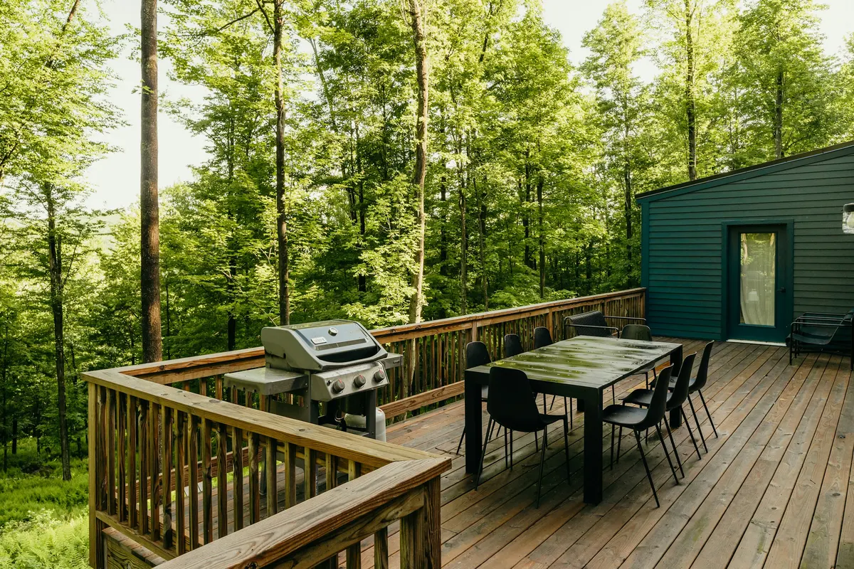
A wooden deck with a table and chairs on it
Clay Banks
Unsplash License (opens in a new tab)
Source (opens in a new tab)Converted to WebP and AVIF. No color or sky edits. On phones, a 4:5 crop of the full height is shown.
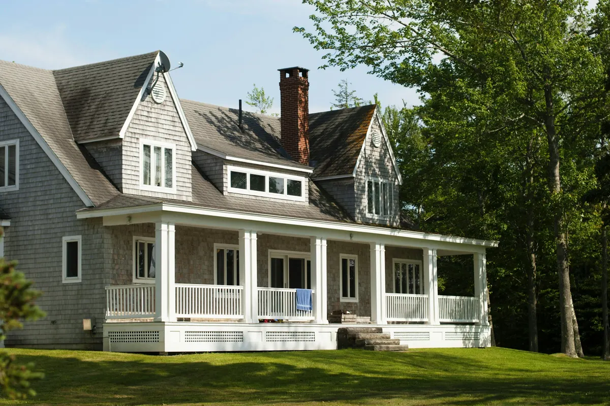
White and brown wooden house near green trees during daytime
Aubrey Odom
Unsplash License (opens in a new tab)
Source (opens in a new tab)Converted to WebP and AVIF. No color or sky edits. On phones, a 4:5 crop of the full height is shown.
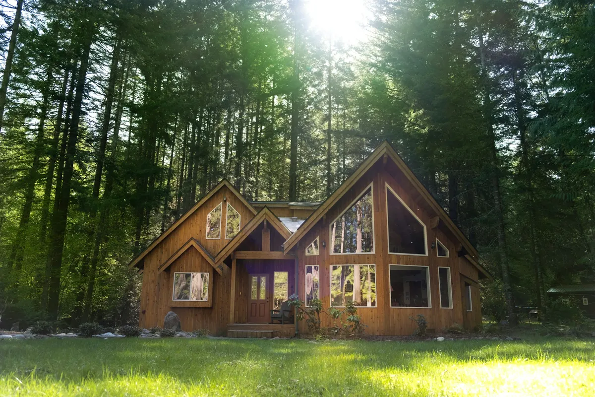
Brown wooden house in the middle of forest during daytime
Madhur Shrimal
Unsplash License (opens in a new tab)
Source (opens in a new tab)Converted to WebP and AVIF. No color or sky edits. On phones, a 4:5 crop of the full height is shown.
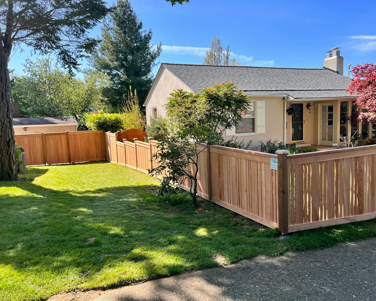
A house with a wooden fence in front of it
Jacob Walsh
Unsplash License (opens in a new tab)
Source (opens in a new tab)Converted to WebP and AVIF. No color or sky edits. On phones, a 4:5 crop of the full height is shown.
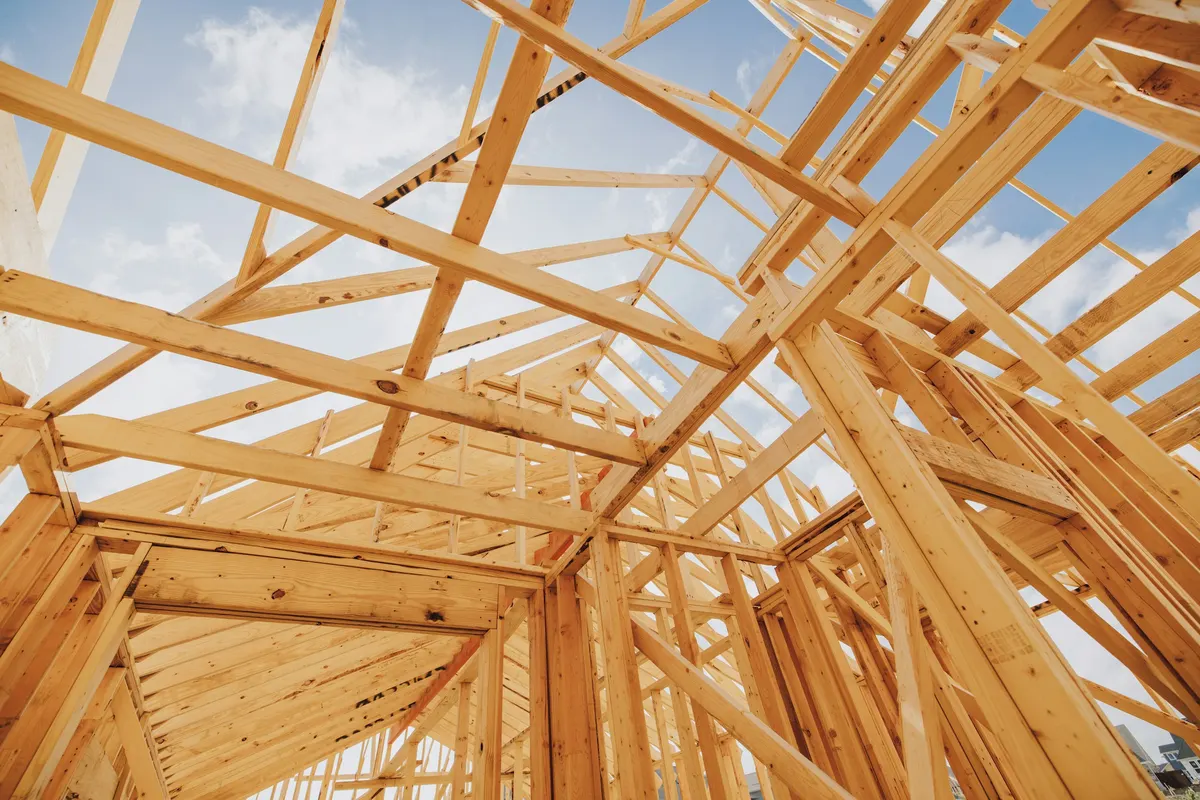
A wooden structure under construction under a blue sky
Nate Johnston
Unsplash License (opens in a new tab)
Source (opens in a new tab)Converted to WebP and AVIF. No color or sky edits. On phones, a 4:5 crop of the full height is shown.
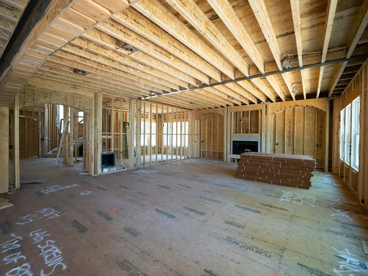
A room with a wood floor and a bench
Samuel Cruz
Unsplash License (opens in a new tab)
Source (opens in a new tab)Cropped to 4:3 and converted to WebP and AVIF. No color or sky edits.

Assorted handheld tools in tool rack
Barn Images
Unsplash License (opens in a new tab)
Source (opens in a new tab)Cropped to 4:3 and converted to WebP and AVIF. No color or sky edits.
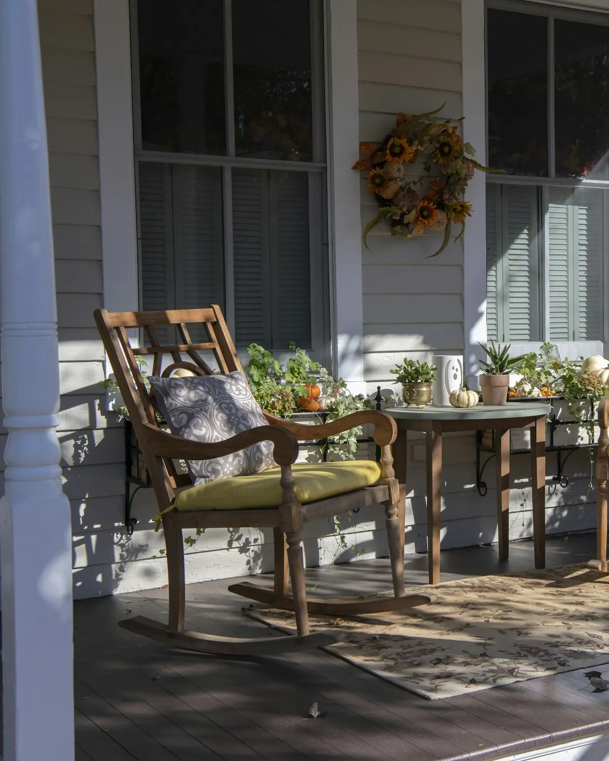
Brown wooden chairs and table near white wooden post
Robin Jonathan Deutsch
Unsplash License (opens in a new tab)
Source (opens in a new tab)Cropped to 4:5 and converted to WebP and AVIF. No color or sky edits.
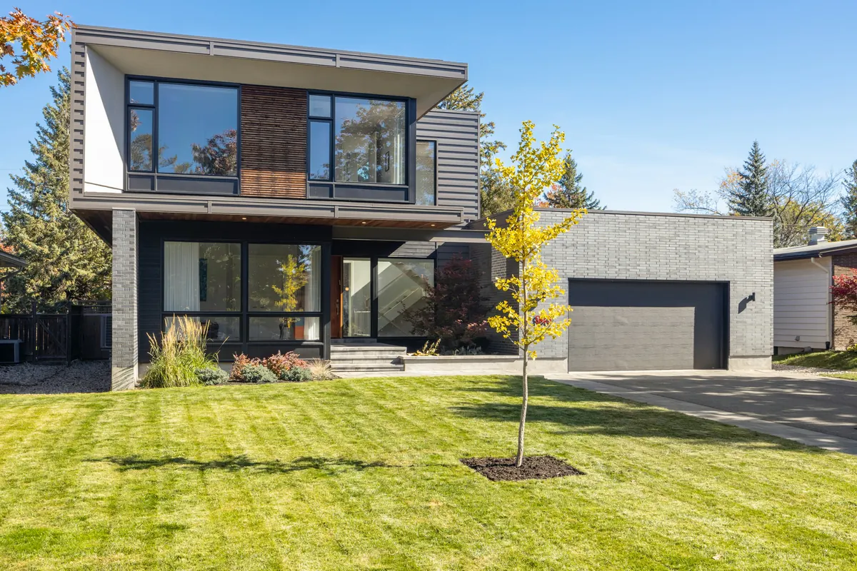
A house with a tree in the front yard
Point3D Commercial Imaging Ltd.
Unsplash License (opens in a new tab)
Source (opens in a new tab)Resized and converted to WebP and AVIF. No color or sky edits.

Michael Allen: supplied by the owner
Resized and converted to WebP and AVIF. No retouching, color or crop changes.
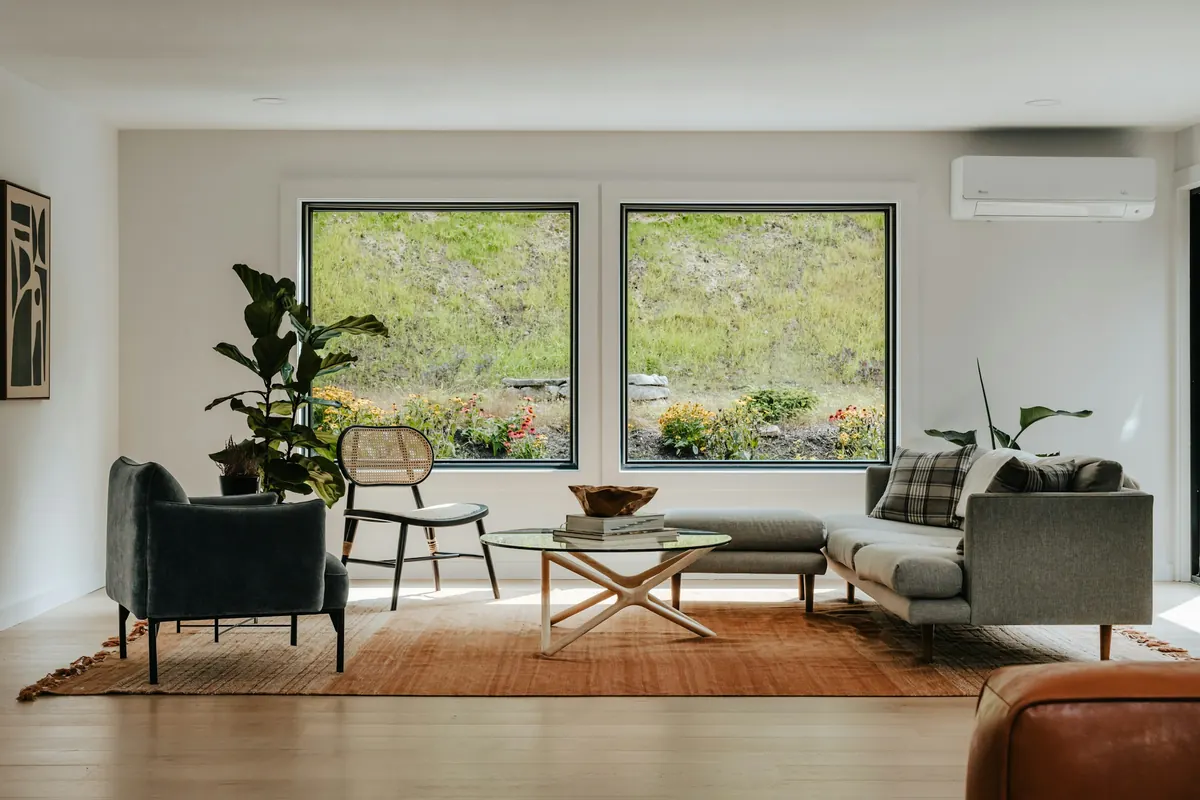
Living room with 2 large windows
Clay Banks
Unsplash License (opens in a new tab)
Source (opens in a new tab)Converted to WebP and AVIF. No color or sky edits. On phones, a 4:5 crop of the full height is shown.
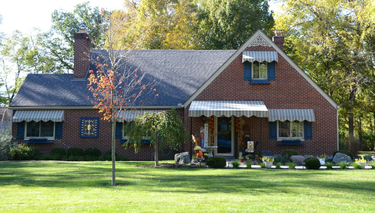
A brick house with a green lawn and trees
Roger Starnes Sr
Unsplash License (opens in a new tab)
Source (opens in a new tab)Top 13% (white sky) cropped off, converted to WebP and AVIF. No color or sky edits. On phones, a 4:5 crop of the full height is shown.
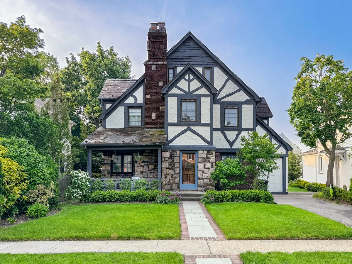
A charming tudor-style home with a beautiful yard
Avi Werde
Unsplash License (opens in a new tab)
Source (opens in a new tab)Converted to WebP and AVIF. No color or sky edits. On phones, a 4:5 crop of the full height is shown.
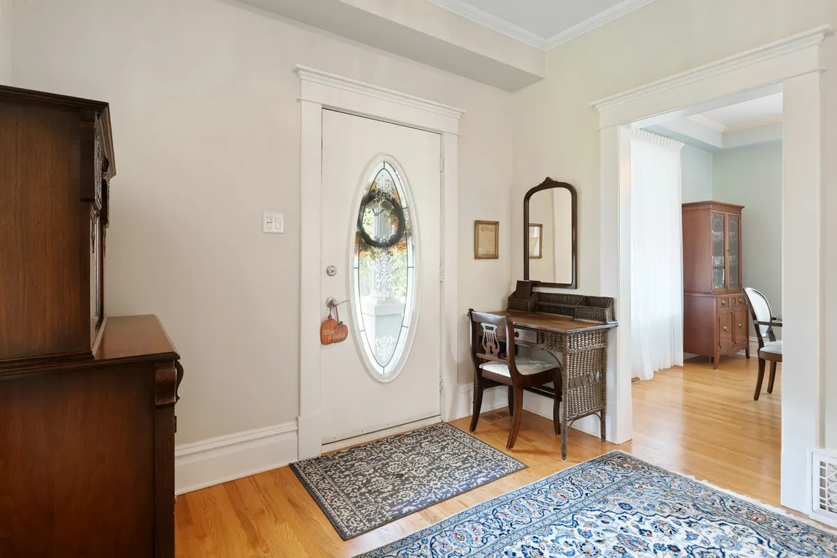
A living room with a piano and a mirror
Point3D Commercial Imaging Ltd.
Unsplash License (opens in a new tab)
Source (opens in a new tab)Converted to WebP and AVIF. No color or sky edits. On phones, a 4:5 crop of the full height is shown.
Sunlight and Shadow on Wooden Pier
Jan van der Wolf
Pexels License (opens in a new tab)
Source (opens in a new tab)Resized to 2400px wide and converted to WebP and AVIF. No color or sky edits. On phones, a 4:5 crop of the full height is shown.
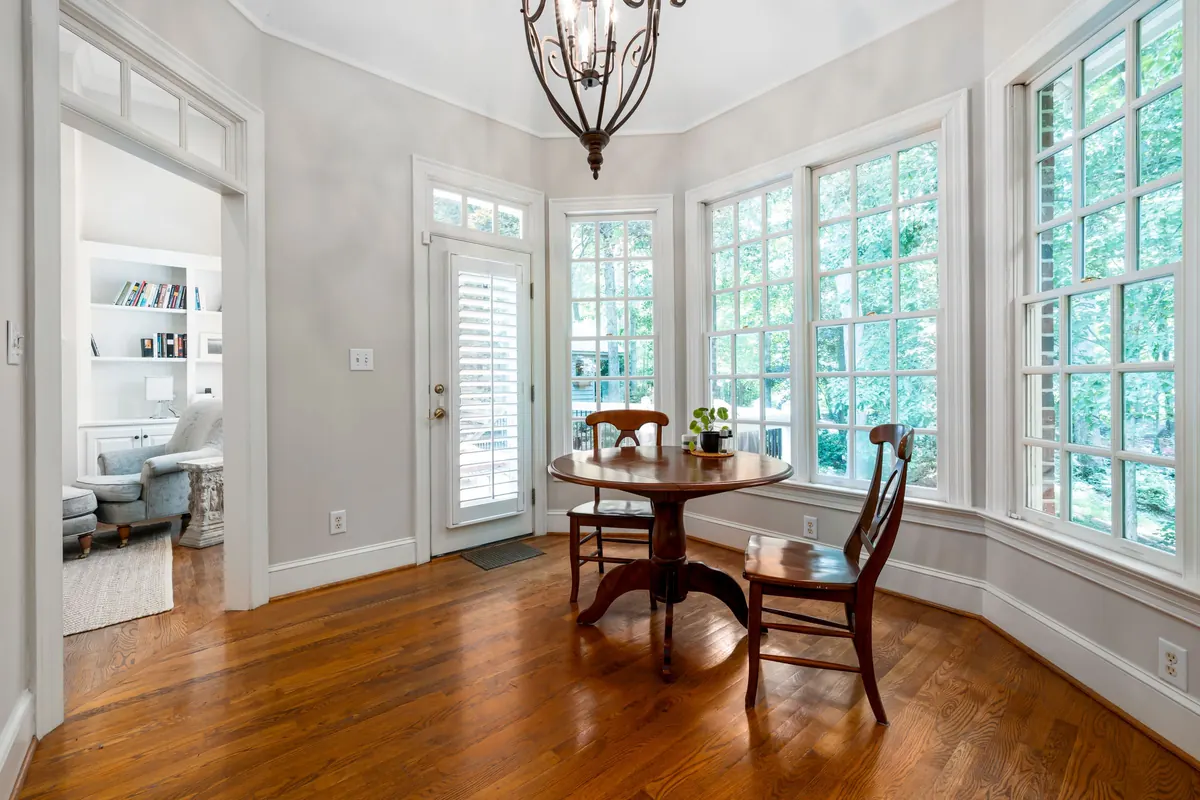
An Empty Wooden Table with Chairs
Curtis Adams
Pexels License (opens in a new tab)
Source (opens in a new tab)Resized to 2400px wide and converted to WebP and AVIF. No color or sky edits. On phones, a 4:5 crop of the full height is shown.
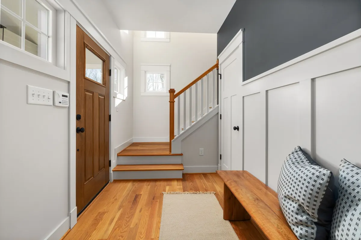
Modern Interior Entryway with Wooden Elements
Curtis Adams
Pexels License (opens in a new tab)
Source (opens in a new tab)Resized to 2400px wide and converted to WebP and AVIF. No color or sky edits. On phones, a 4:5 crop of the full height is shown.
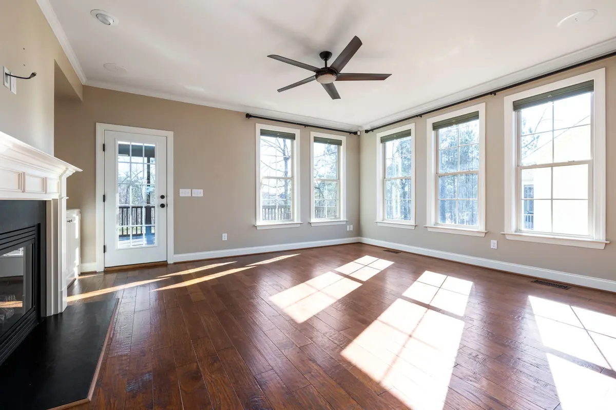
An Empty Living Room with Hardwood Flooring
Curtis Adams
Pexels License (opens in a new tab)
Source (opens in a new tab)Resized to 2400px wide and converted to WebP and AVIF; phone version cropped to 4:5 on the windows. No color or sky edits. On phones, a 4:5 crop of the full height is shown.

Alki Beach pano 01A
Joe Mabel
CC BY 3.0 (opens in a new tab)
Source (opens in a new tab)The photographer's own panorama (made with Hugin), not stitched or extended here. Cut at band heights of 400 to 1100px and converted to WebP and AVIF. No color or sky edits.


Communities

Aerial Bellevue Washington August 2009
Jelson25
Public domain (opens in a new tab)
Source (opens in a new tab)Resized to 2400px wide and converted to WebP and AVIF; an upright 4:5 phone crop of its full height. No color or sky edits. On phones, a 4:5 crop of the full height is shown.

Bellevue Downtown Aerial, May 2025
Spicypepper999
Source (opens in a new tab)Resized to 2000px wide and converted to WebP. No color or sky edits. On phones, a 4:5 crop of the full height is shown.
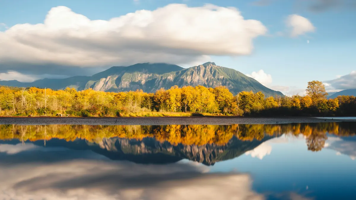
Brown forest near body of water photo
Dave Hoefler
Unsplash License (opens in a new tab)
Source (opens in a new tab)Resized to 2400px wide and converted to WebP and AVIF, with an upright 4:5 phone crop of its full height cut on the summit. No color or sky edits. Unsplash location: Borst Lake and Mt. Si, Snoqualmie, WA. On phones, a 4:5 crop of the full height is shown.
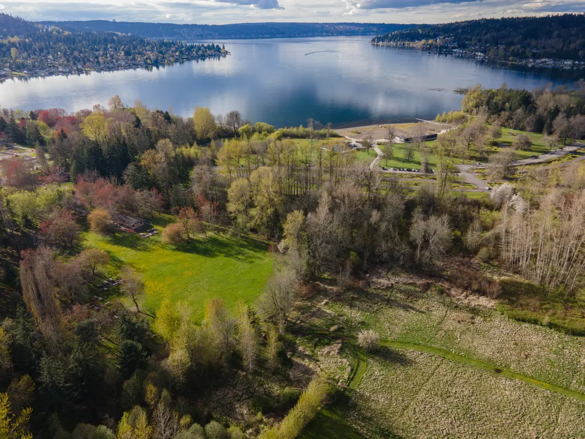
Lake Sammamish State Park aerial, April 2023
Spicypepper999
Source (opens in a new tab)Resized and converted to WebP. No color or sky edits. On phones, a 4:5 crop of the full height is shown.
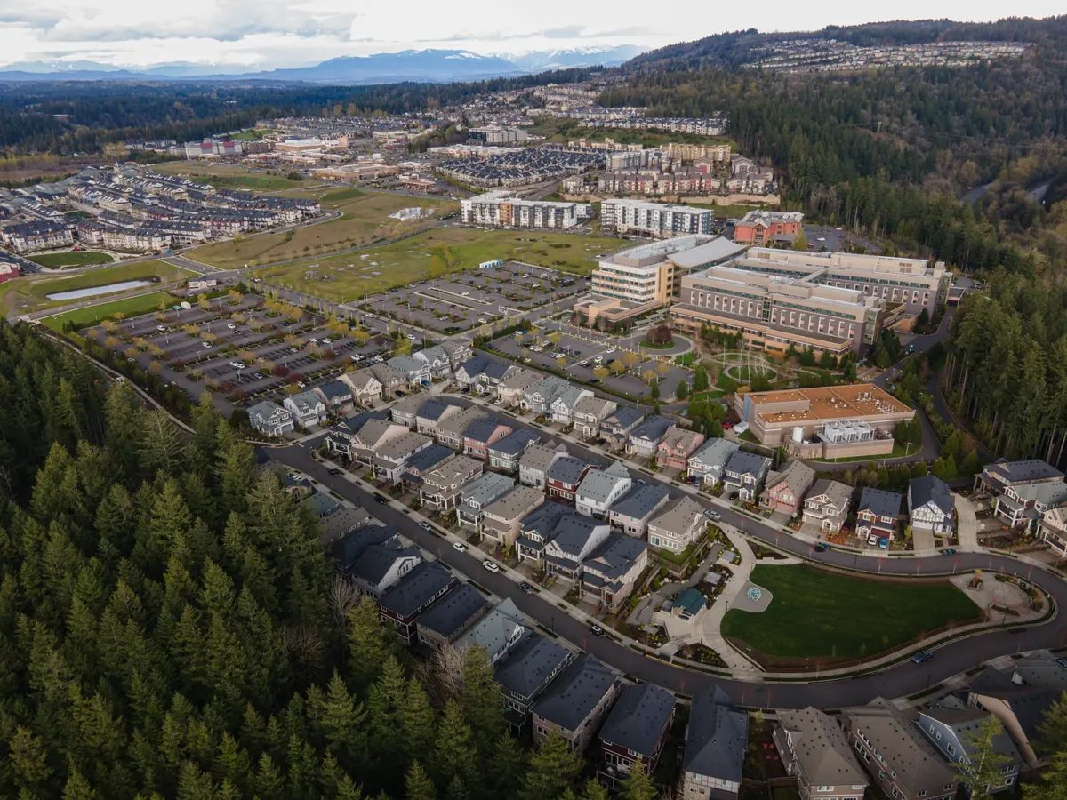
Issaquah Highlands aerial, April 2023
Spicypepper999
Source (opens in a new tab)Resized and converted to WebP. No color or sky edits.

A large piece of driftwood sitting on top of a beach
Samira P
Unsplash License (opens in a new tab)
Source (opens in a new tab)Resized to 2400px wide and converted to WebP and AVIF, with an upright 4:5 phone crop of its full height. No color or sky edits. Unsplash location: Brackett’s Landing North, Edmonds. On phones, a 4:5 crop of the full height is shown.

Marymoor Park aerial, April 2023
Spicypepper999
Source (opens in a new tab)Resized and converted to WebP. No color or sky edits. On phones, a 4:5 crop of the full height is shown.

Issaquah Paragliding (14491703410)
Billy Savanh
CC BY 2.0 (opens in a new tab)
Source (opens in a new tab)Resized and converted to WebP. No color or sky edits. On phones, a 4:5 crop of the full height is shown.
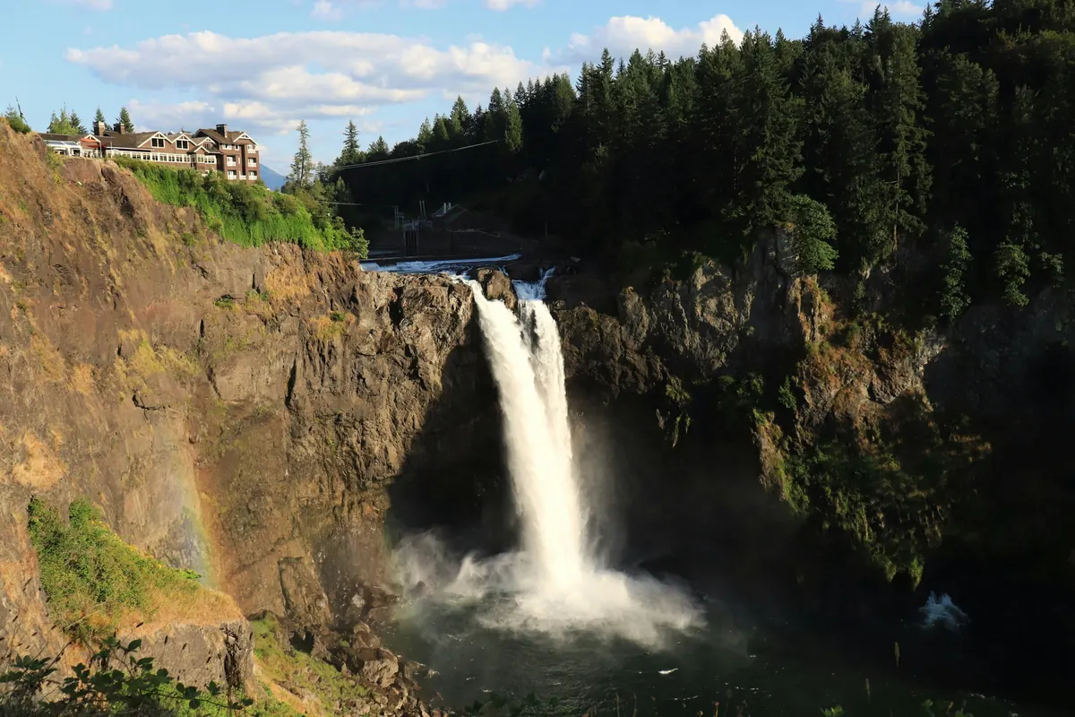
Snoqualmie Falls with a bridge and trees
Giuli Canderle
Unsplash License (opens in a new tab)
Source (opens in a new tab)Resized to 2400px wide and converted to WebP and AVIF, with an upright 4:5 phone crop of its full height cut on the falls. No color or sky edits. Unsplash location: Snoqualmie Falls, Snoqualmie, WA. On phones, a 4:5 crop of the full height is shown.

Seattle and Mount Rainier
Mark Raptapolus
Unsplash License (opens in a new tab)
Source (opens in a new tab)Resized and converted to WebP. No color or sky edits. On phones, a 4:5 crop of the full height is shown.
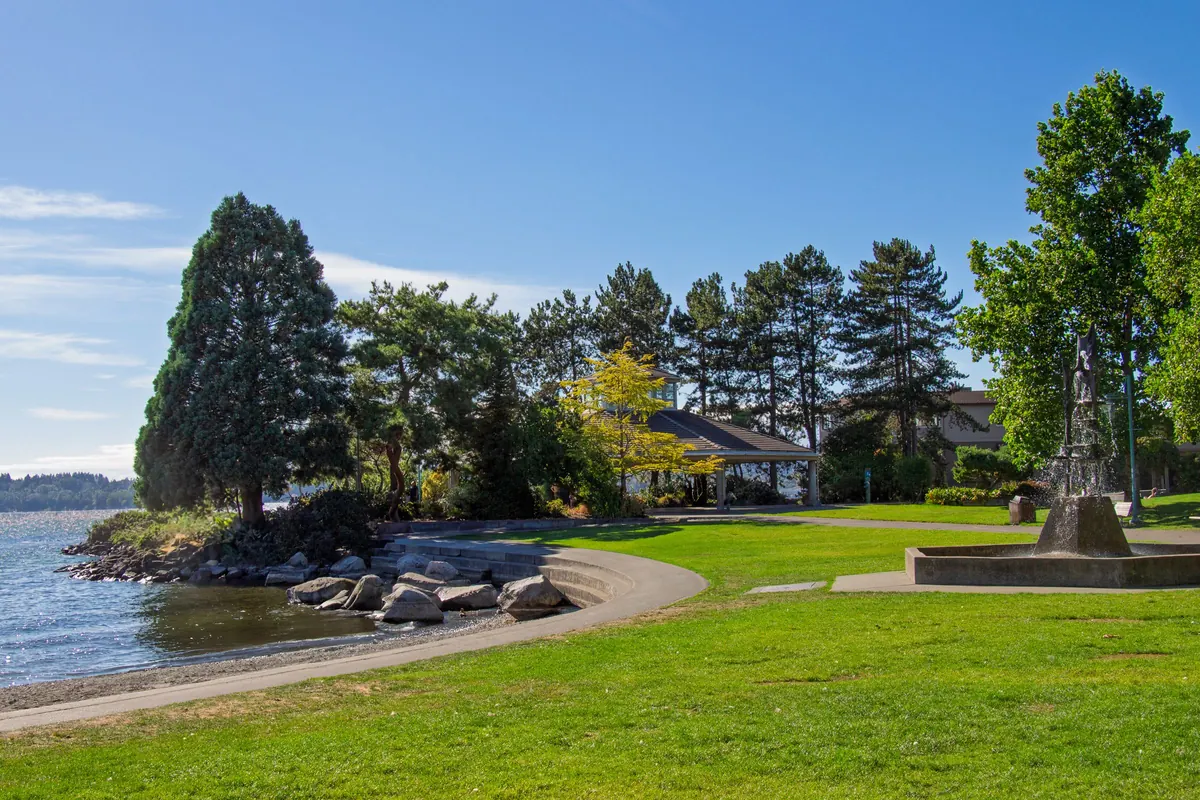
Tranquil lakeside park in Kirkland, Washington
William Jacobs
Pexels License (opens in a new tab)
Source (opens in a new tab)Converted to WebP and AVIF, with an upright 4:5 phone crop of its full height. No color or sky edits. Pexels location: Kirkland, Washington. On phones, a 4:5 crop of the full height is shown.
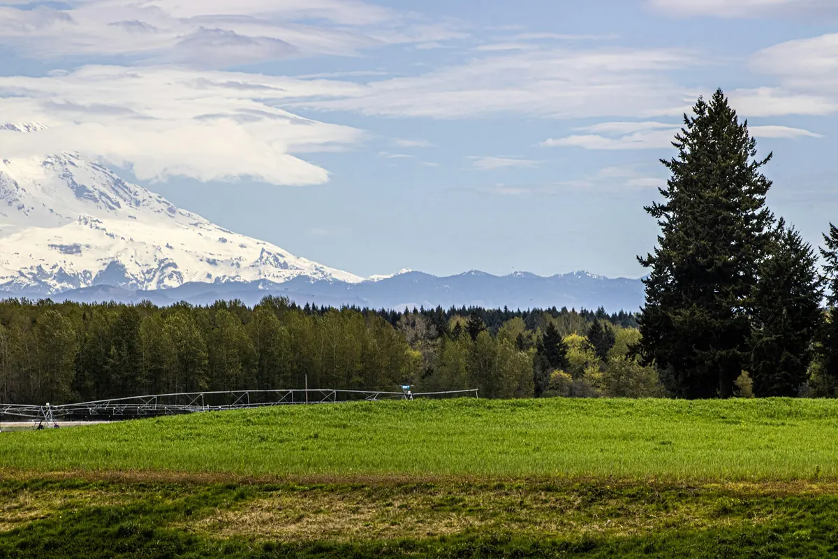
A field with trees and a mountain in the background
Peter Robbins
Unsplash License (opens in a new tab)
Source (opens in a new tab)Converted to WebP and AVIF, with an upright 4:5 phone crop of the left part of the full height. No color or sky edits. Unsplash location: Yelm, WA. On phones, a 4:5 crop of the full height is shown.
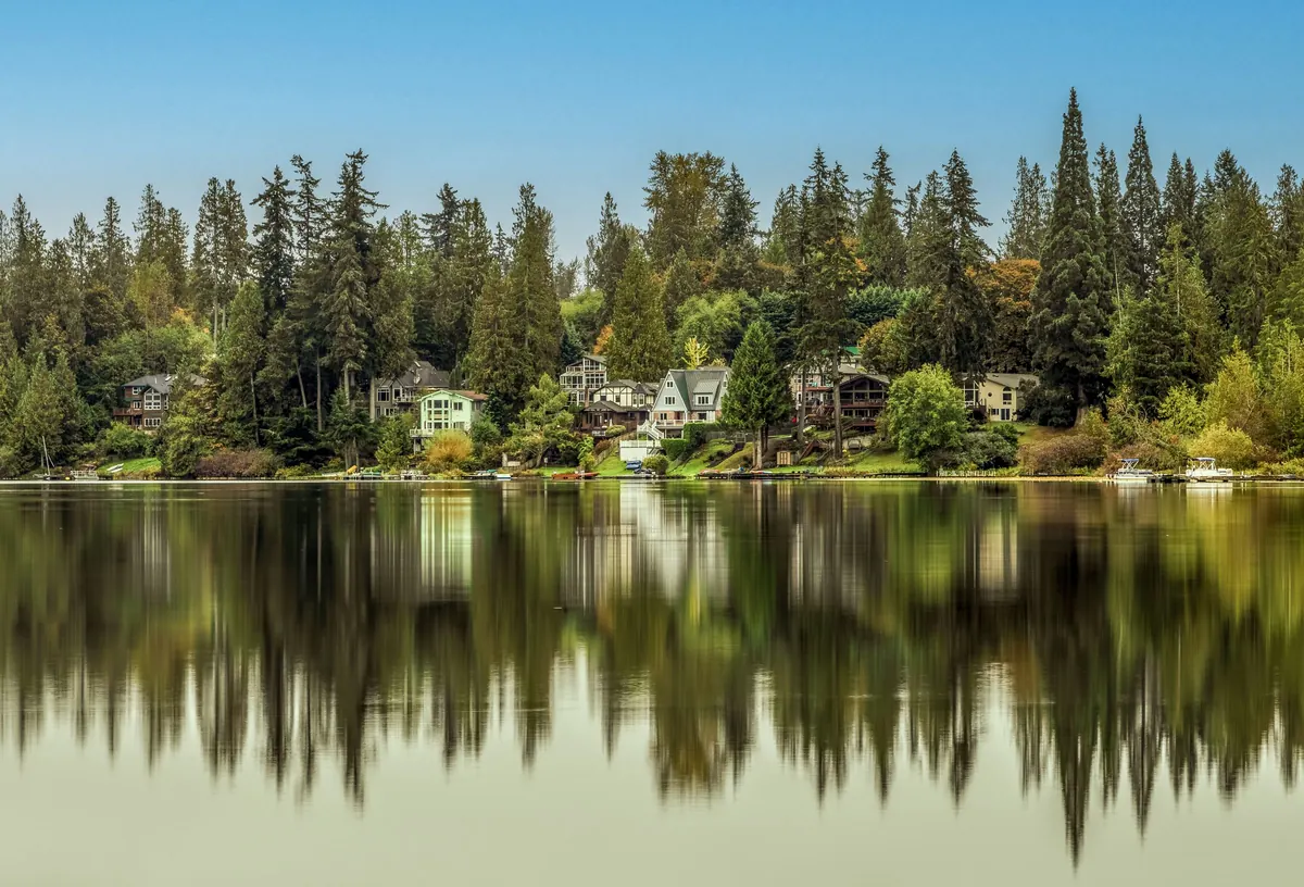
Tranquil lakefront homes in Renton, WA
William Jacobs
Pexels License (opens in a new tab)
Source (opens in a new tab)Converted to WebP and AVIF, with an upright 4:5 phone crop of its full height. No color or sky edits. Pexels location: Renton, WA. On phones, a 4:5 crop of the full height is shown.

Aerial view of Seward Park and Mercer Island: dcoetzee
Resized from 3264px to 2400px wide and converted to WebP and AVIF, with an upright 4:5 phone crop of its full height. No color or sky edits. On phones, a 4:5 crop of the full height is shown.
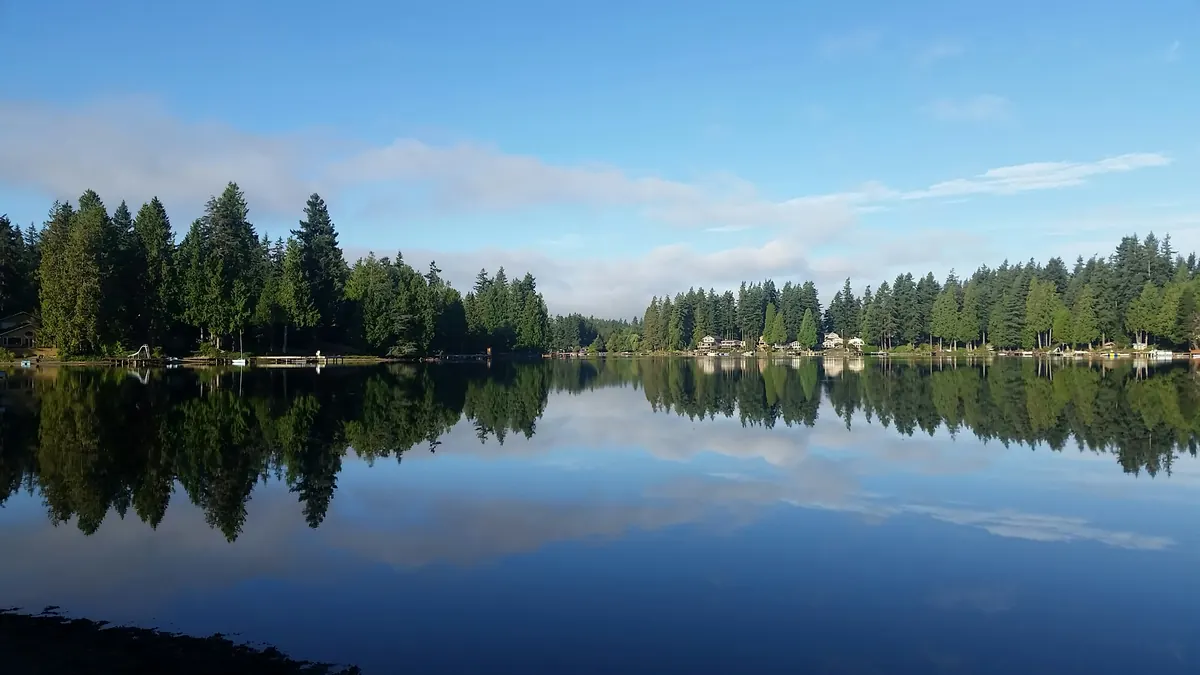
Houses near body of water surrounded with green trees under white and blue sky
David Dallaire
Unsplash License (opens in a new tab)
Source (opens in a new tab)Resized from 3264px to 2400px wide and converted to WebP and AVIF, with an upright 4:5 phone crop of its full height. No color or sky edits. On phones, a 4:5 crop of the full height is shown.


Listings
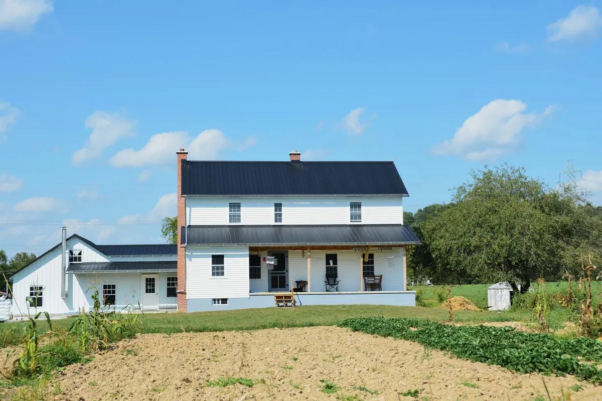
White farmhouse with black roof
Roger Starnes Sr
Unsplash License (opens in a new tab)
Source (opens in a new tab)Trimmed to 3:2 and converted to WebP and AVIF. No color or sky edits.
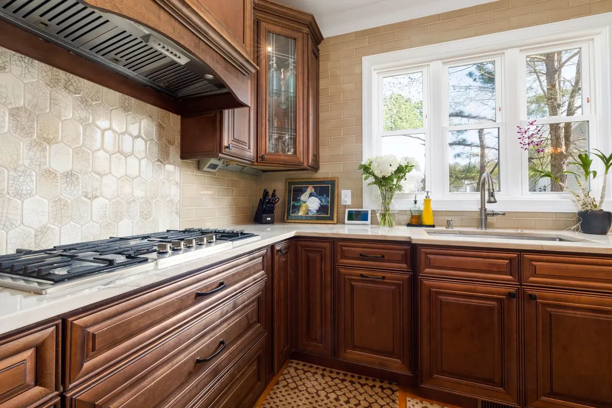
Traditional kitchen with dark wood cabinets, a gas cooktop and a bright window
Curtis Adams
Pexels License (opens in a new tab)
Source (opens in a new tab)Resized to at most 1800px and converted to WebP. No color or sky edits.
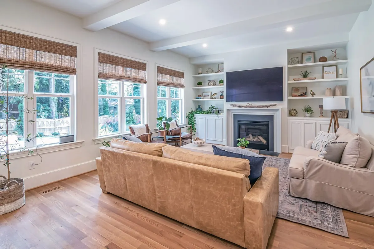
Bright farmhouse living room with wood floors, white beams and a fireplace
Curtis Adams
Pexels License (opens in a new tab)
Source (opens in a new tab)Resized to at most 1800px and converted to WebP. No color or sky edits.
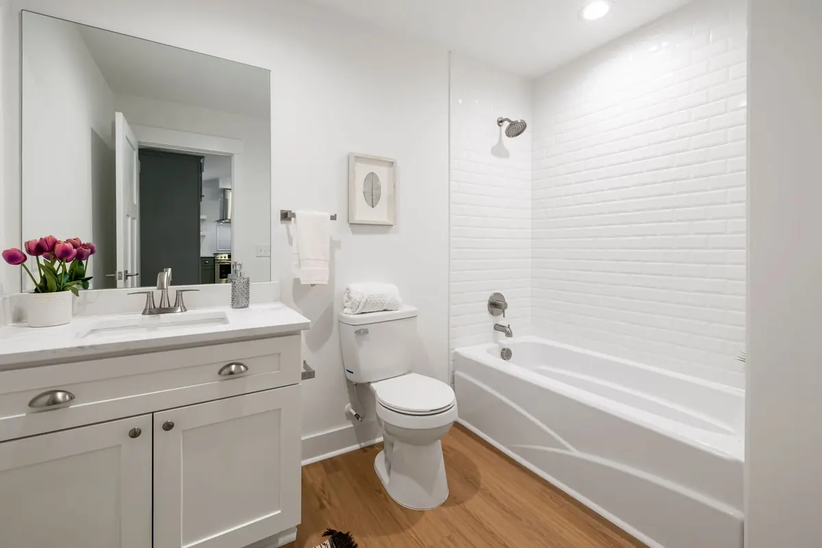
Renovated white bathroom with a tub-shower and warm wood-look flooring
Curtis Adams
Pexels License (opens in a new tab)
Source (opens in a new tab)Resized to at most 1800px and converted to WebP. No color or sky edits.
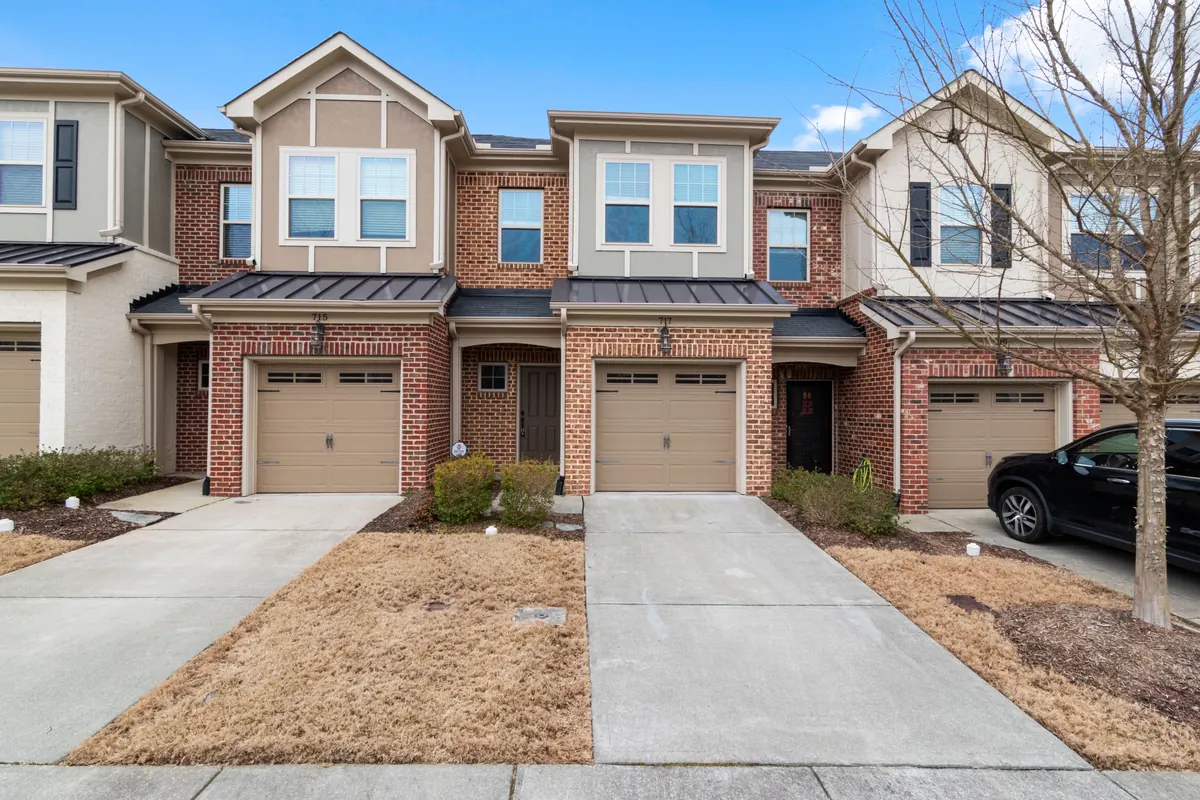
Elegant suburban brick townhouses with driveways
Curtis Adams
Pexels License (opens in a new tab)
Source (opens in a new tab)Resized to at most 2400px and converted to WebP and AVIF. No color or sky edits.
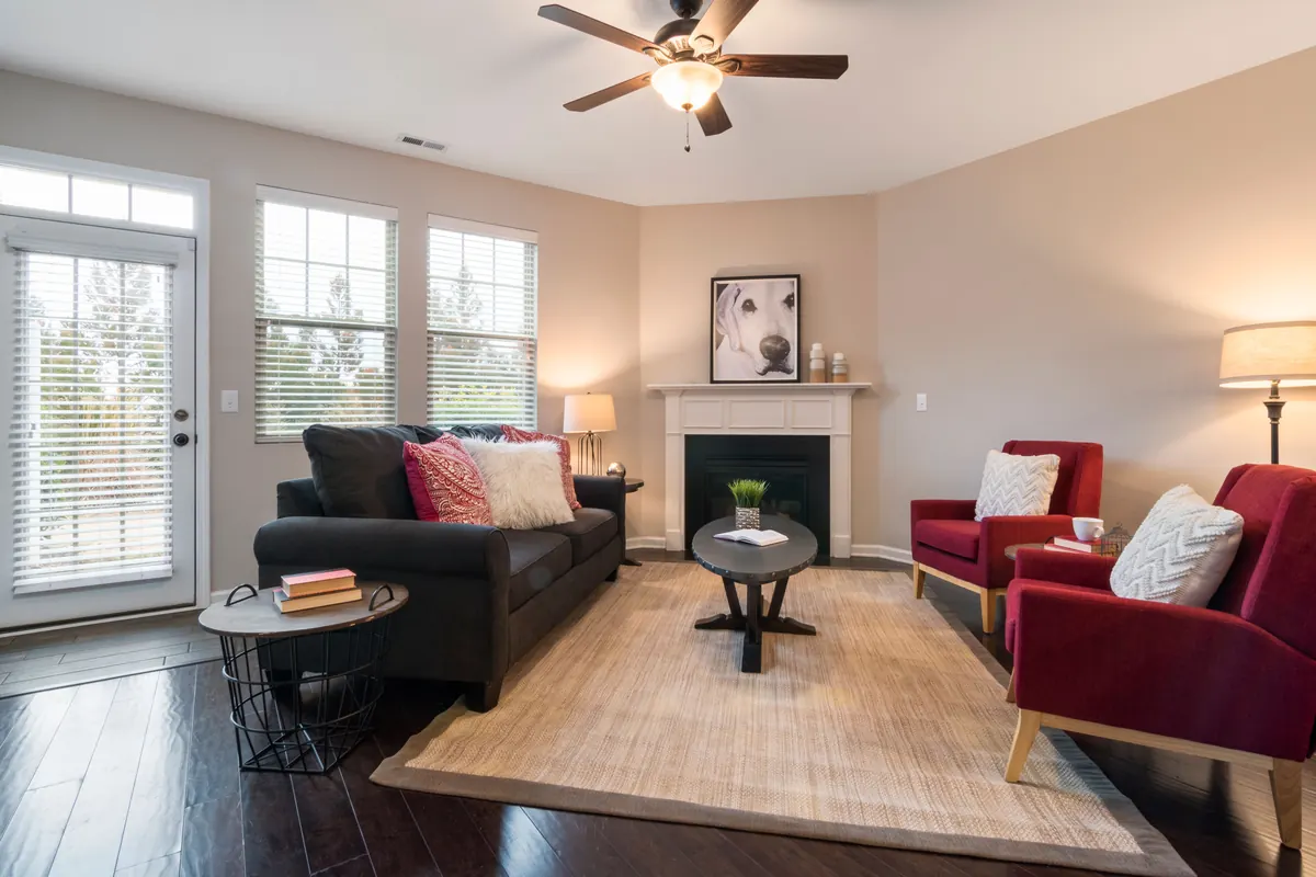
Living room with a corner fireplace
Curtis Adams
Pexels License (opens in a new tab)
Source (opens in a new tab)Resized to at most 2400px and converted to WebP and AVIF. No color or sky edits.
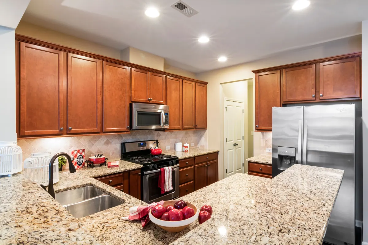
Kitchen with brown wooden cabinets
Curtis Adams
Pexels License (opens in a new tab)
Source (opens in a new tab)Resized to at most 2400px and converted to WebP and AVIF. No color or sky edits.
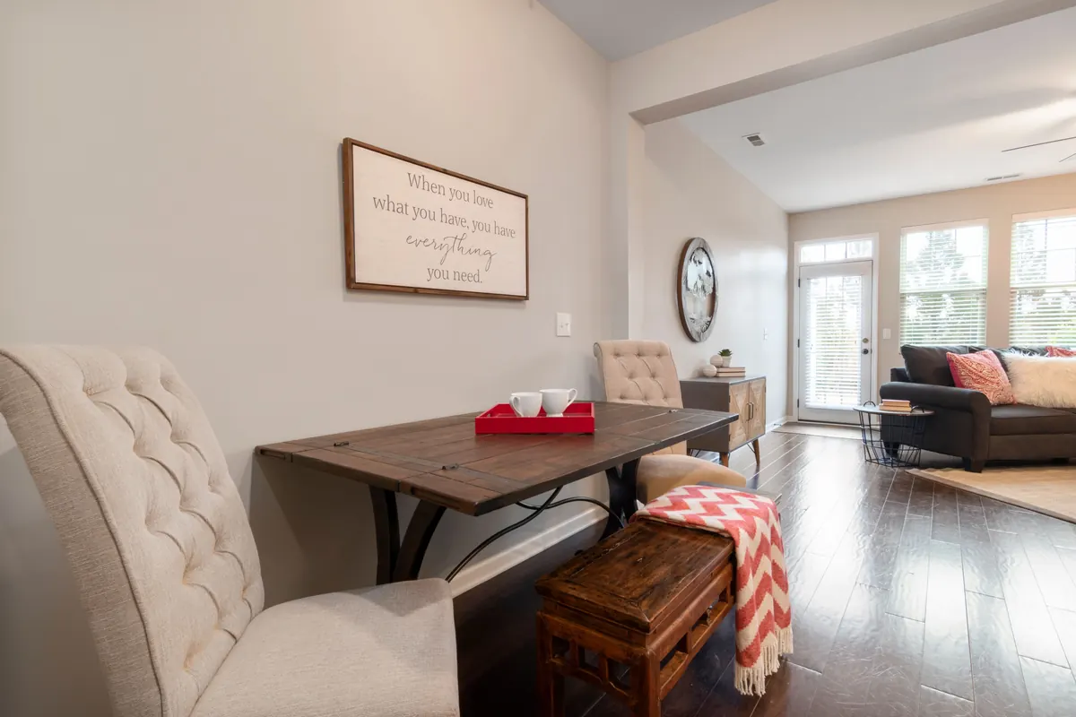
Dining area beside the living room
Curtis Adams
Pexels License (opens in a new tab)
Source (opens in a new tab)Resized to at most 2400px and converted to WebP and AVIF. No color or sky edits.
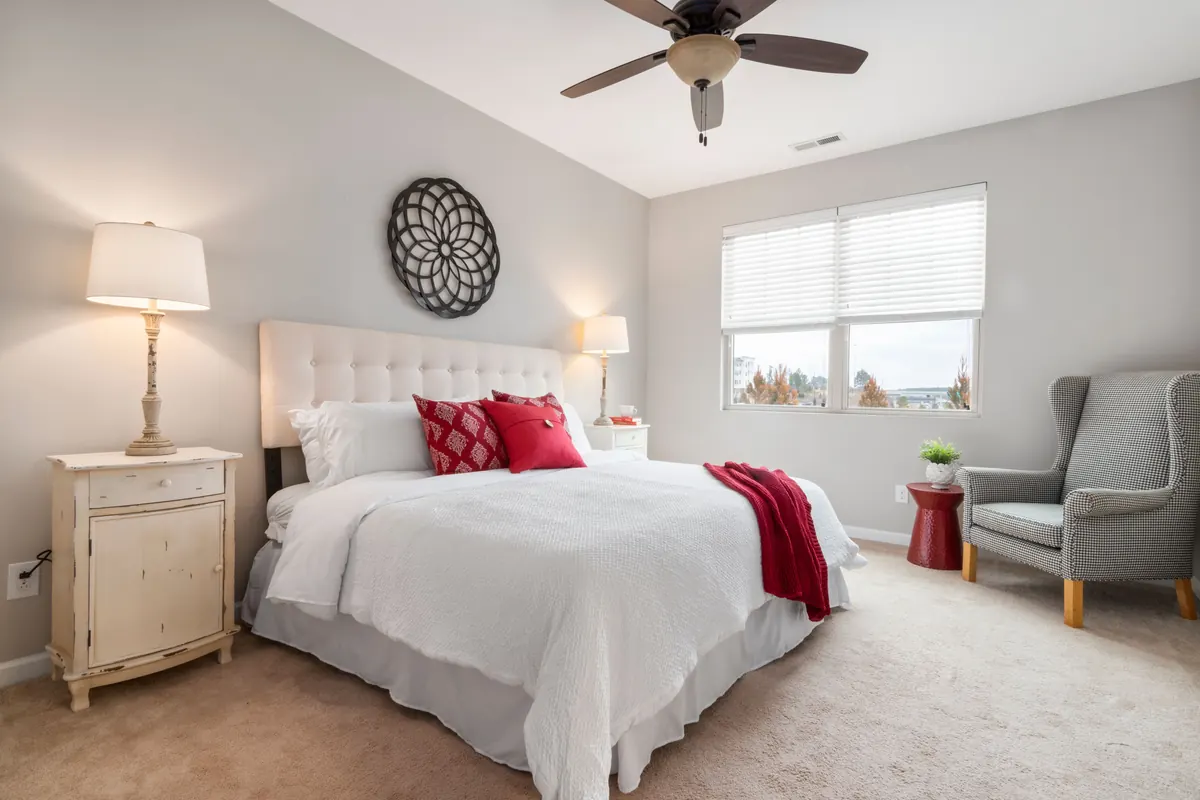
A contemporary bedroom with a bed near a window
Curtis Adams
Pexels License (opens in a new tab)
Source (opens in a new tab)Resized to at most 2400px and converted to WebP and AVIF. No color or sky edits.
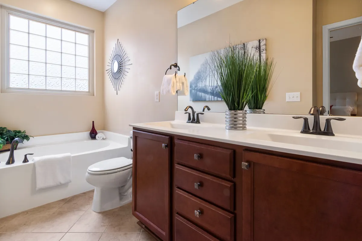
Wooden cabinets of a lavatory
Curtis Adams
Pexels License (opens in a new tab)
Source (opens in a new tab)Resized to at most 2400px and converted to WebP and AVIF. No color or sky edits.
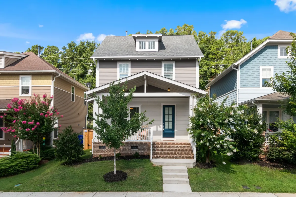
Gray-sided two-story house with white trim, a covered porch and a sunny green lawn
Curtis Adams
Pexels License (opens in a new tab)
Source (opens in a new tab)Cropped to 3:2, resized and converted to WebP. No color or sky edits.
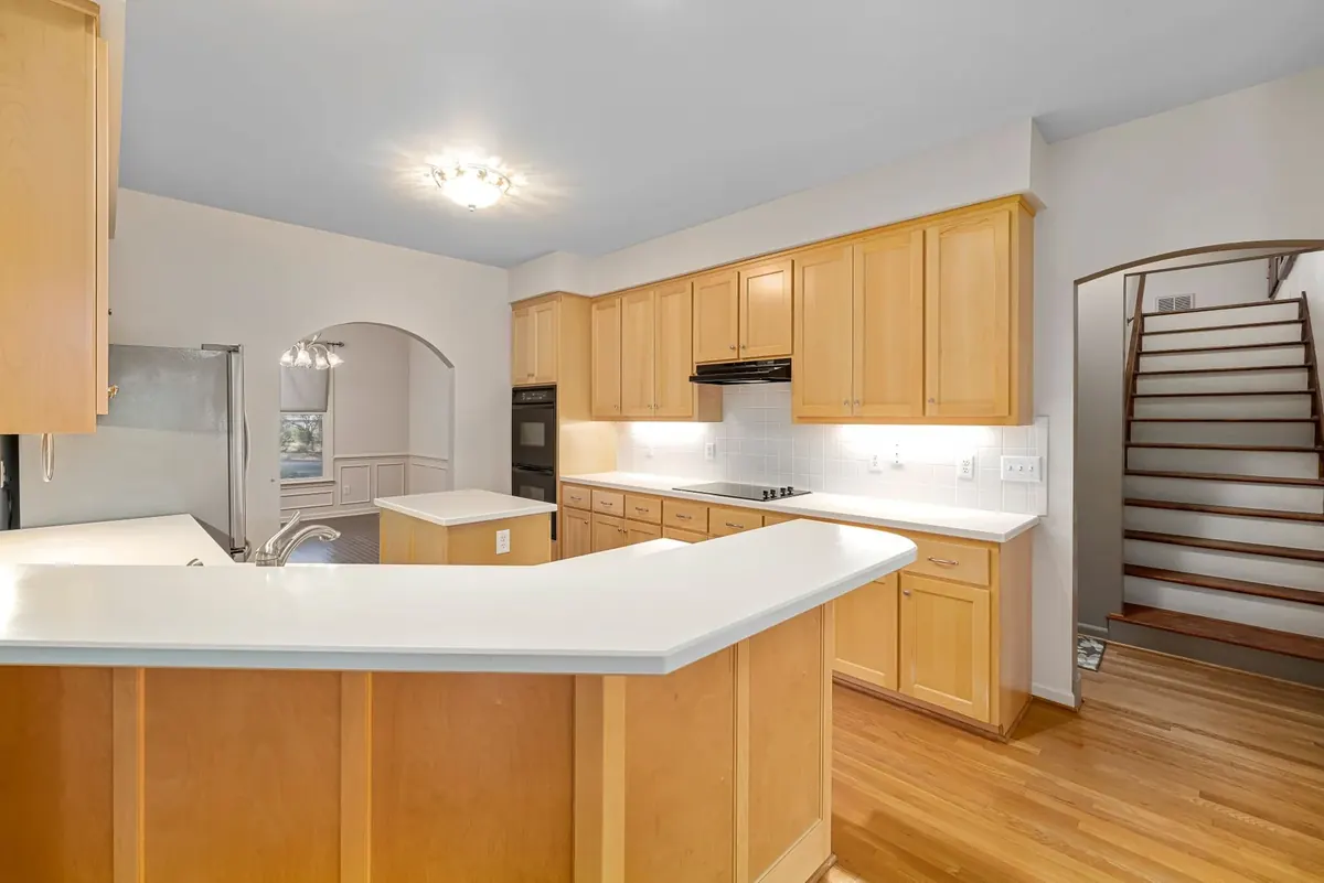
Kitchen with honey-colored wood cabinets, white counters and wood flooring
Curtis Adams
Pexels License (opens in a new tab)
Source (opens in a new tab)Resized to at most 1800px and converted to WebP. No color or sky edits.
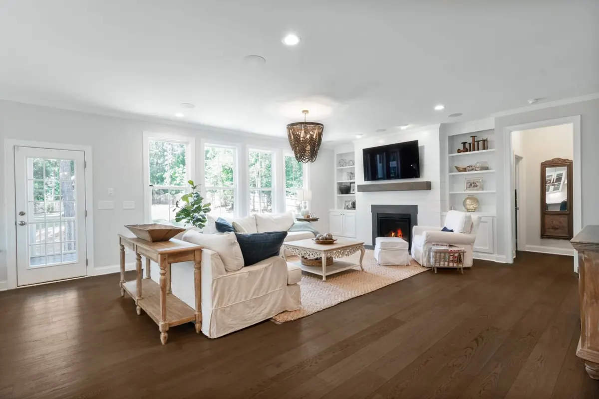
Bright living room with wood floors, large windows, white built-ins and a fireplace
Curtis Adams
Pexels License (opens in a new tab)
Source (opens in a new tab)Resized to at most 1800px and converted to WebP. No color or sky edits.
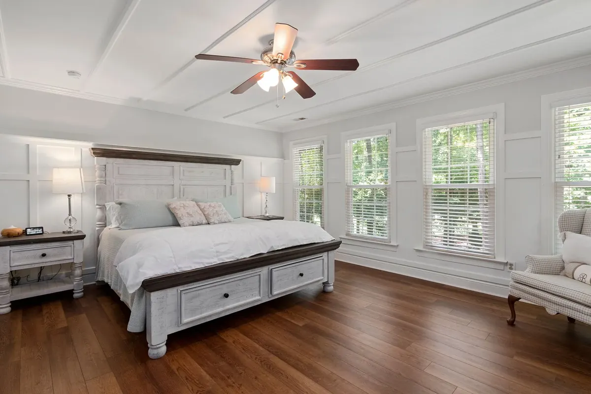
Spacious bedroom with wood flooring, white furniture and three tall windows
Curtis Adams
Pexels License (opens in a new tab)
Source (opens in a new tab)Resized to at most 1800px and converted to WebP. No color or sky edits.
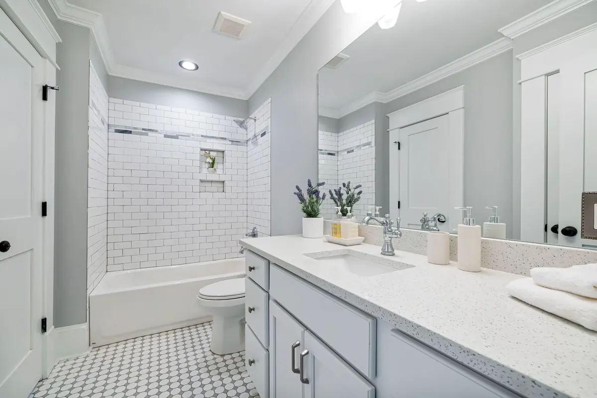
Bright bathroom with pale gray cabinetry, two sinks and white subway tile
Curtis Adams
Pexels License (opens in a new tab)
Source (opens in a new tab)Resized to at most 1800px and converted to WebP. No color or sky edits.
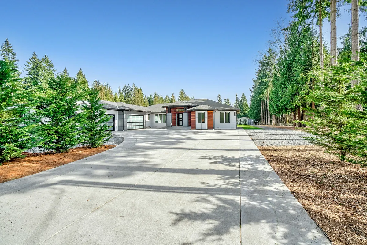
White concrete house near green trees under blue sky during daytime
Zac Gudakov
Unsplash License (opens in a new tab)
Source (opens in a new tab)Resized and converted to WebP and AVIF, with an upright 4:5 crop of the full height for phones. No color or sky edits.
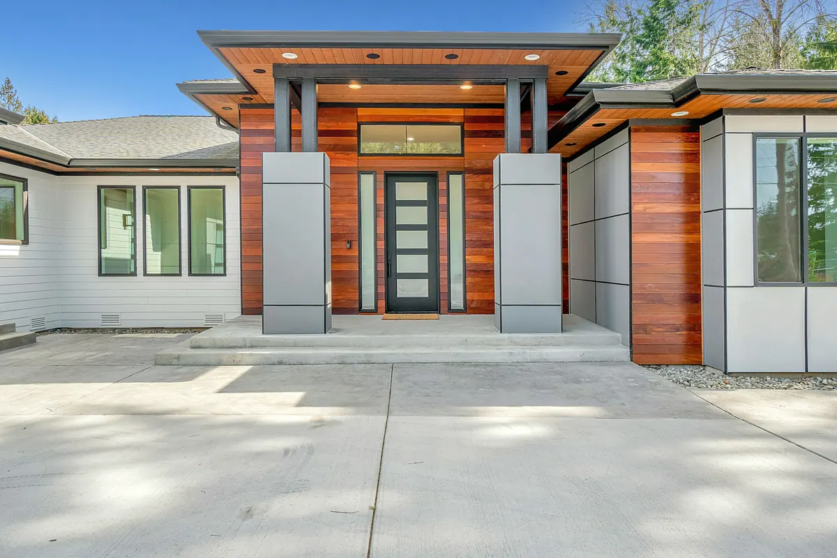
White and brown concrete building under blue sky during daytime
Zac Gudakov
Unsplash License (opens in a new tab)
Source (opens in a new tab)Resized and converted to WebP and AVIF. No color or sky edits.
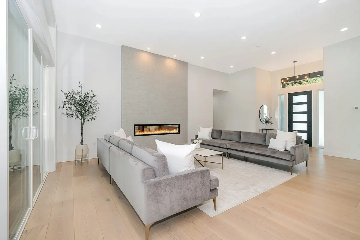
White leather 2 seat sofa
Zac Gudakov
Unsplash License (opens in a new tab)
Source (opens in a new tab)Resized and converted to WebP and AVIF. No color or sky edits.
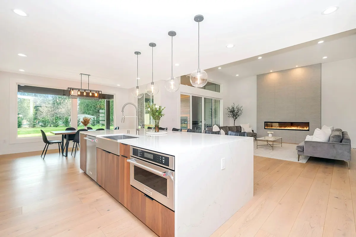
White and brown kitchen counter
Zac Gudakov
Unsplash License (opens in a new tab)
Source (opens in a new tab)Resized and converted to WebP and AVIF. No color or sky edits.
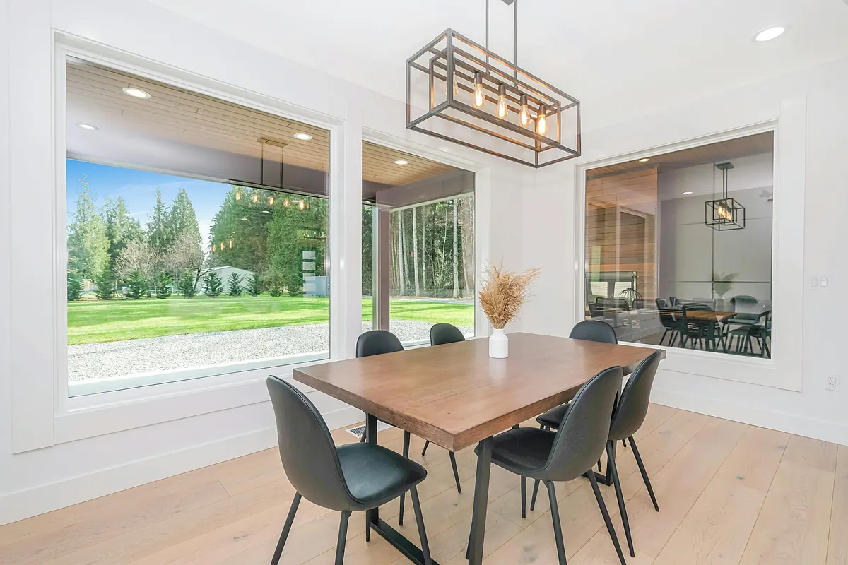
Brown wooden table with chairs
Zac Gudakov
Unsplash License (opens in a new tab)
Source (opens in a new tab)Resized and converted to WebP and AVIF. No color or sky edits.
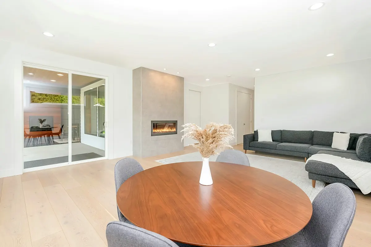
White flower on brown wooden table
Zac Gudakov
Unsplash License (opens in a new tab)
Source (opens in a new tab)Resized and converted to WebP and AVIF. No color or sky edits.
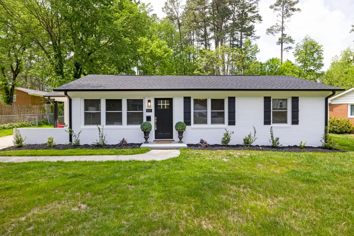
Low white ranch house with black shutters, a screened porch and a sunny broad lawn
Curtis Adams
Pexels License (opens in a new tab)
Source (opens in a new tab)Resized to at most 1800px and converted to WebP. No color or sky edits.
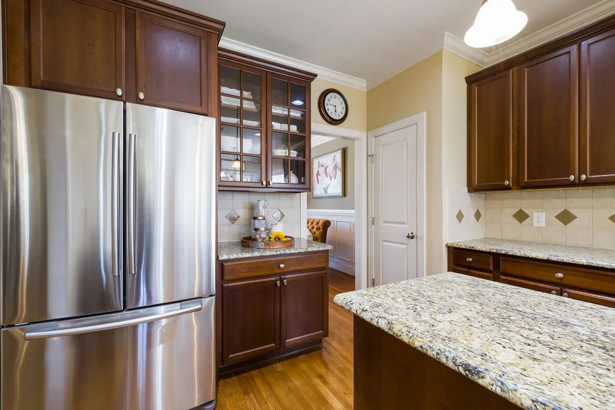
Compact updated kitchen with dark wood cabinets, granite counters and wood flooring
Curtis Adams
Pexels License (opens in a new tab)
Source (opens in a new tab)Resized to at most 1800px and converted to WebP. No color or sky edits.
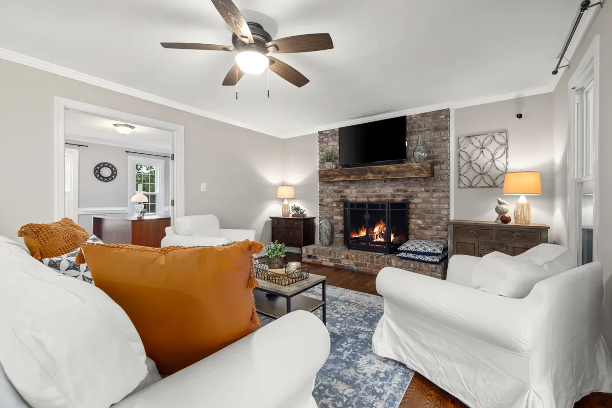
Comfortable living room with a brick fireplace, white seating and gray walls
Curtis Adams
Pexels License (opens in a new tab)
Source (opens in a new tab)Resized to at most 1800px and converted to WebP. No color or sky edits.
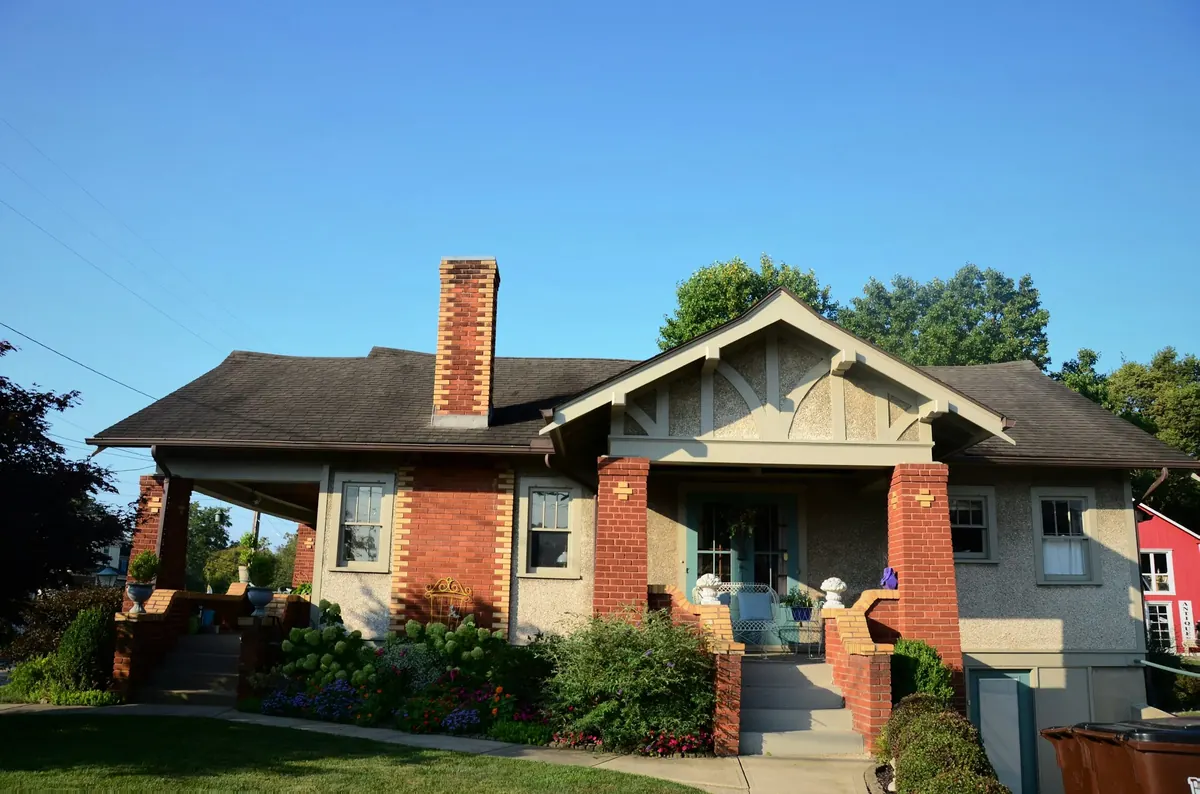
Brown and white concrete house
Roger Starnes Sr
Unsplash License (opens in a new tab)
Source (opens in a new tab)Resized and converted to WebP. No color or sky edits. On phones, a 4:5 crop of the full height is shown.
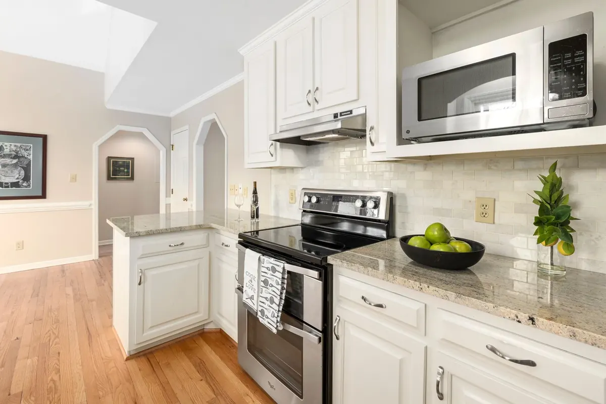
Bright compact kitchen with white cabinets, stainless appliances and warm wood flooring
Curtis Adams
Pexels License (opens in a new tab)
Source (opens in a new tab)Resized to at most 1800px and converted to WebP. No color or sky edits.
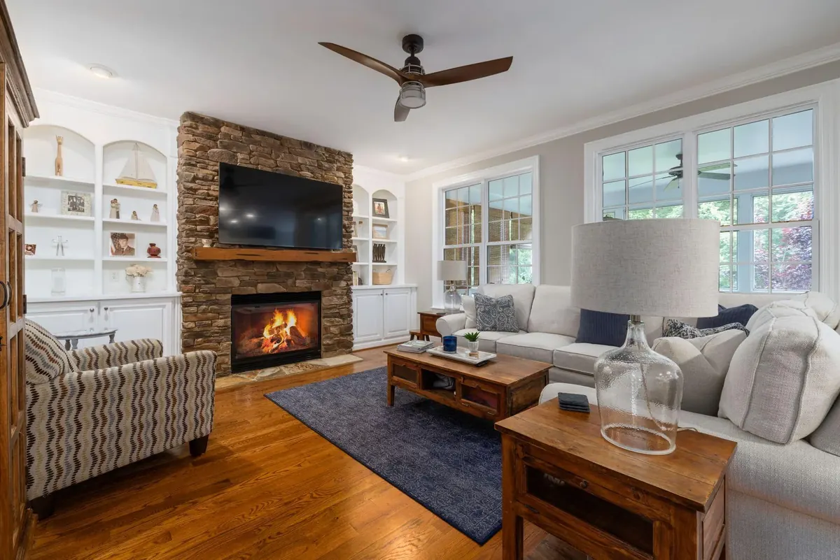
Interior Design of Room
Curtis Adams
Pexels License (opens in a new tab)
Source (opens in a new tab)Resized and converted to WebP. No color or sky edits.
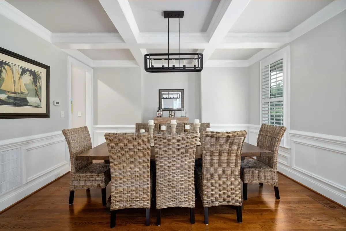
Dining Room in House
Curtis Adams
Pexels License (opens in a new tab)
Source (opens in a new tab)Resized and converted to WebP. No color or sky edits.
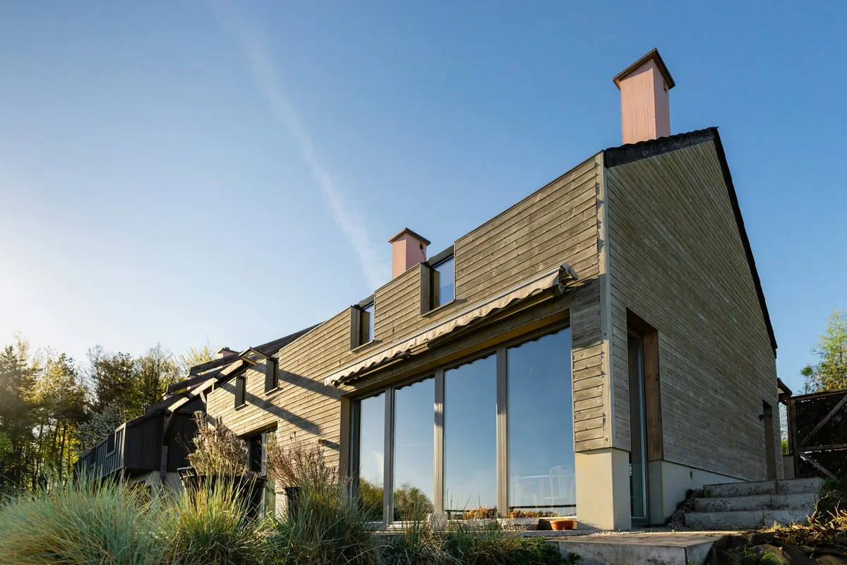
Gray and white wooden house under blue sky during daytime
Ostap Senyuk
Unsplash License (opens in a new tab)
Source (opens in a new tab)Resized and converted to WebP. No color or sky edits.
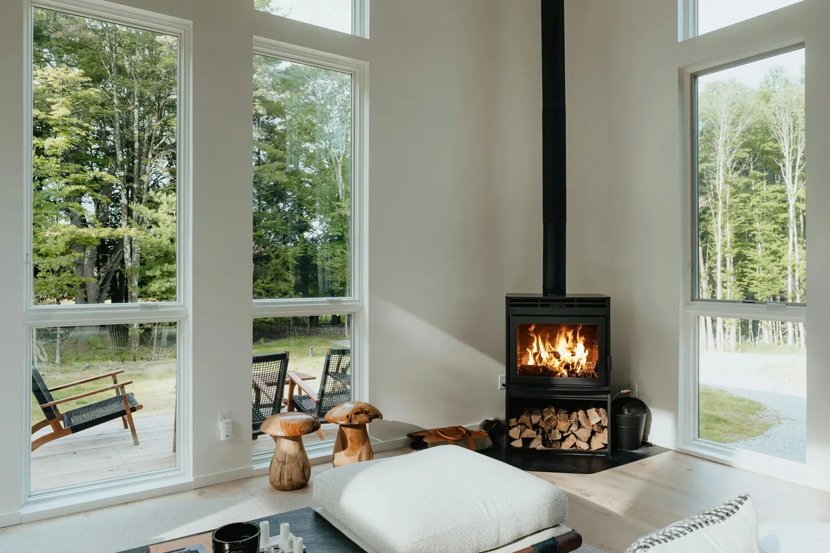
A living room with a fire place in the middle of it
Clay Banks
Unsplash License (opens in a new tab)
Source (opens in a new tab)Converted to WebP and AVIF. No color or sky edits.
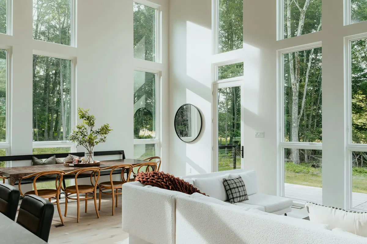
A living room filled with furniture and lots of windows
Clay Banks
Unsplash License (opens in a new tab)
Source (opens in a new tab)Converted to WebP and AVIF. No color or sky edits.
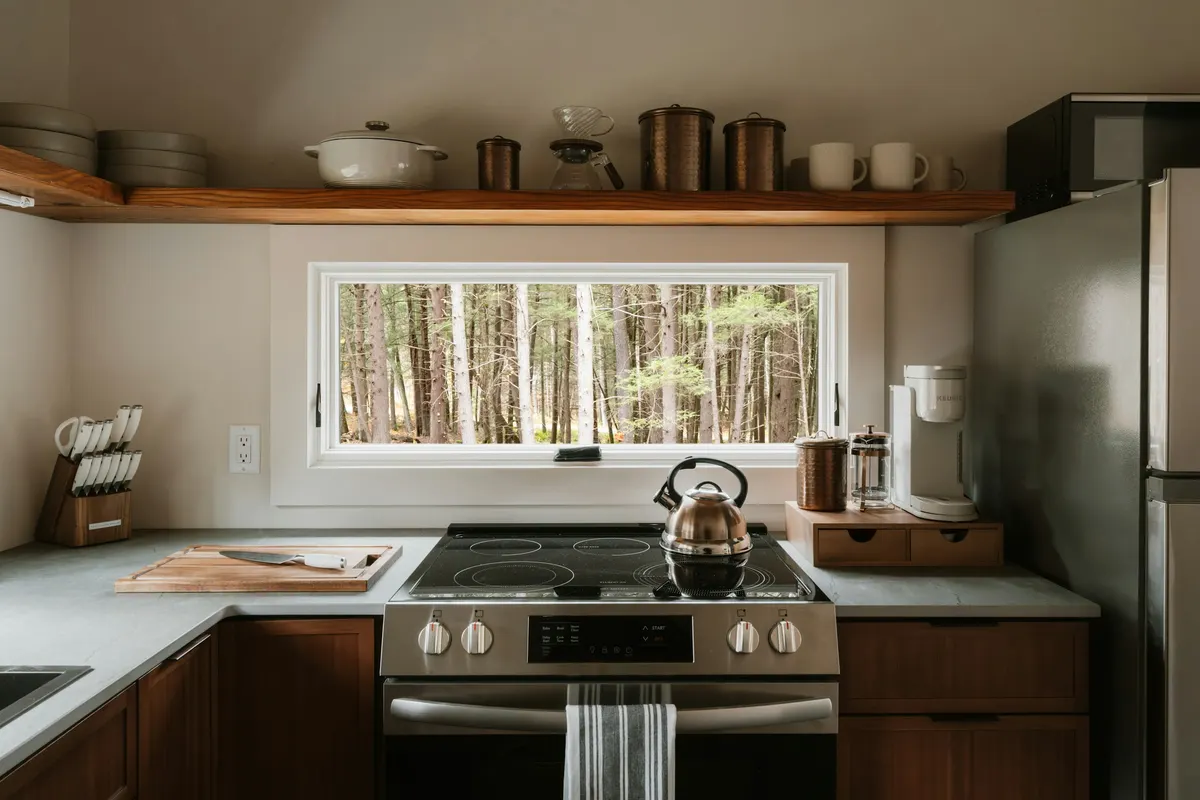
Modern kitchen with a view of a forest
Clay Banks
Unsplash License (opens in a new tab)
Source (opens in a new tab)Converted to WebP and AVIF. No color or sky edits.
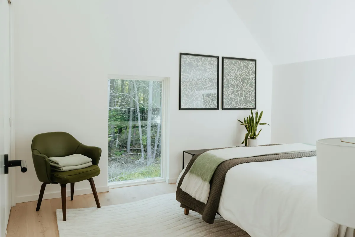
A bedroom with a bed and a chair in it
Clay Banks
Unsplash License (opens in a new tab)
Source (opens in a new tab)Converted to WebP and AVIF. No color or sky edits.
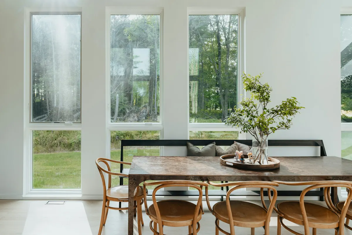
A dining room table with chairs and a vase of flowers
Clay Banks
Unsplash License (opens in a new tab)
Source (opens in a new tab)Converted to WebP and AVIF. No color or sky edits.
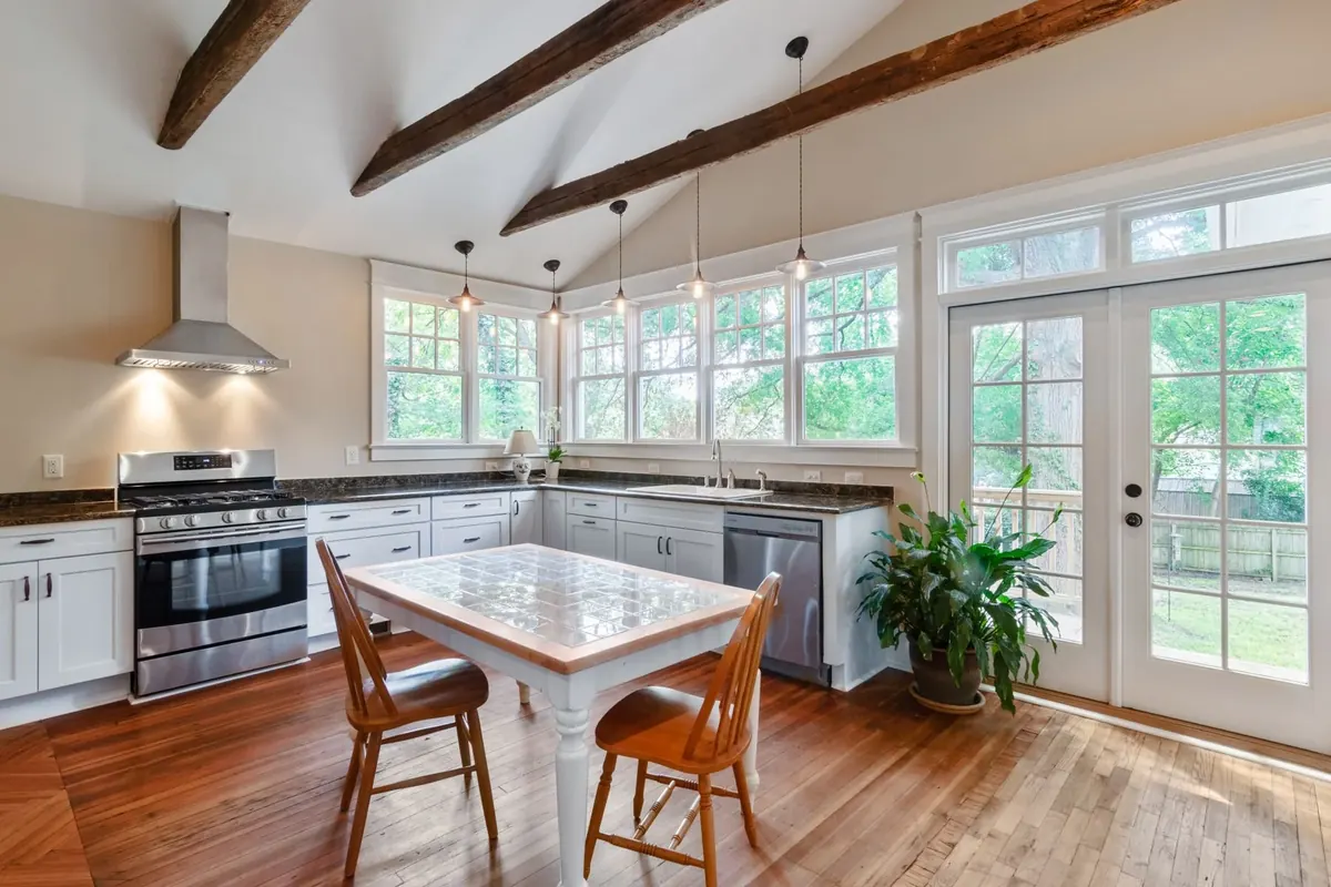
Sunlit kitchen with white cabinets, exposed wood ceiling beams, wood flooring and a small dining table beside large windows
Curtis Adams
Pexels License (opens in a new tab)
Source (opens in a new tab)Resized to at most 1800px and converted to WebP. No color or sky edits.
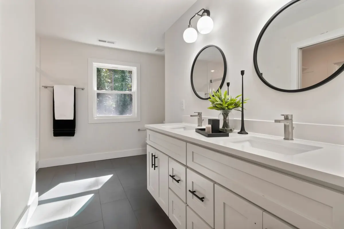
Bright bathroom with a white double vanity, two round black-framed mirrors, gray tile flooring and a window
Curtis Adams
Pexels License (opens in a new tab)
Source (opens in a new tab)Resized to at most 1800px and converted to WebP. No color or sky edits.
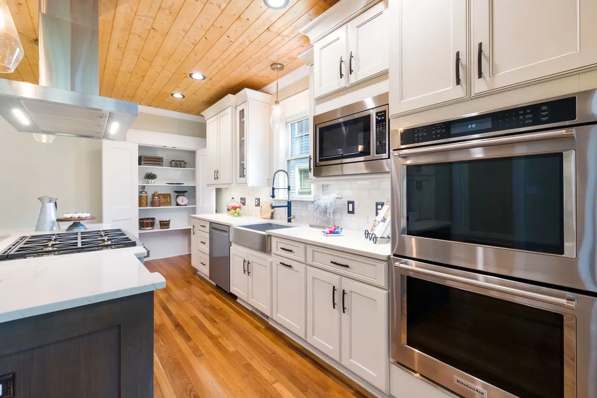
Updated kitchen with white paneled cabinets, stainless steel wall ovens, wood flooring and a wood-plank ceiling
Curtis Adams
Pexels License (opens in a new tab)
Source (opens in a new tab)Resized to at most 1800px and converted to WebP. No color or sky edits.
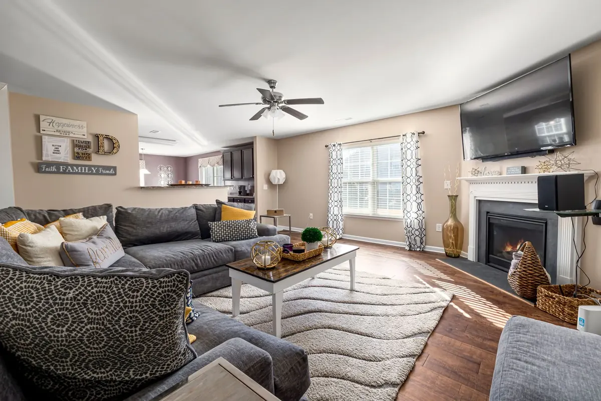
Sunlit living room with a gray sectional, cream rug, wood flooring and a white fireplace beneath a wall-mounted television
Curtis Adams
Pexels License (opens in a new tab)
Source (opens in a new tab)Resized to at most 1800px and converted to WebP. No color or sky edits.
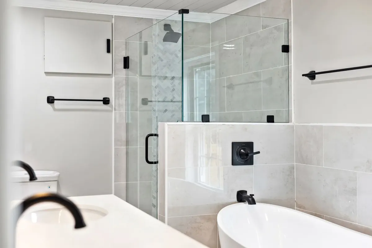
Light tiled bathroom with a glass-enclosed shower, black fixtures and a separate white bathtub
Curtis Adams
Pexels License (opens in a new tab)
Source (opens in a new tab)Resized to at most 1800px and converted to WebP. No color or sky edits.
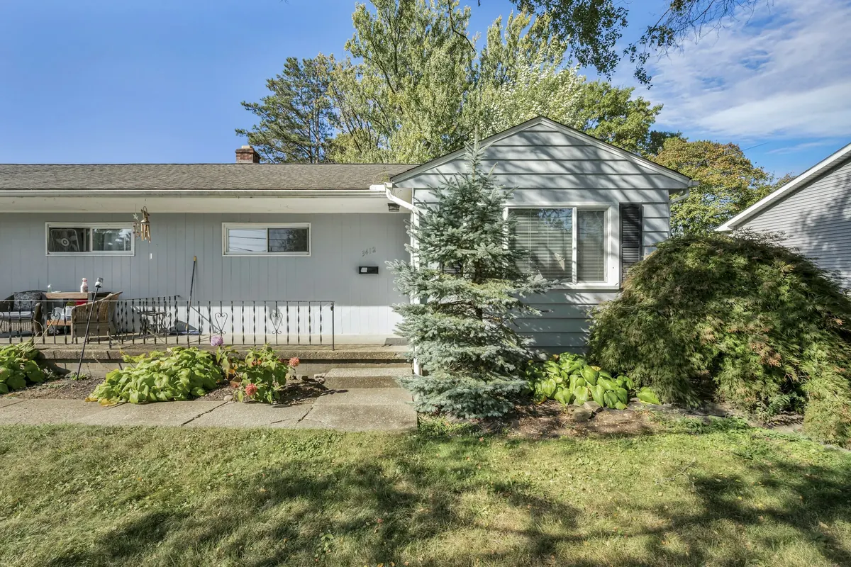
Renovated gray ranch house with a blue spruce
Josh Lemmon
Unsplash License (opens in a new tab)
Source (opens in a new tab)Resized and converted to WebP. No color or sky edits. On phones, a 4:5 crop of the full height is shown.
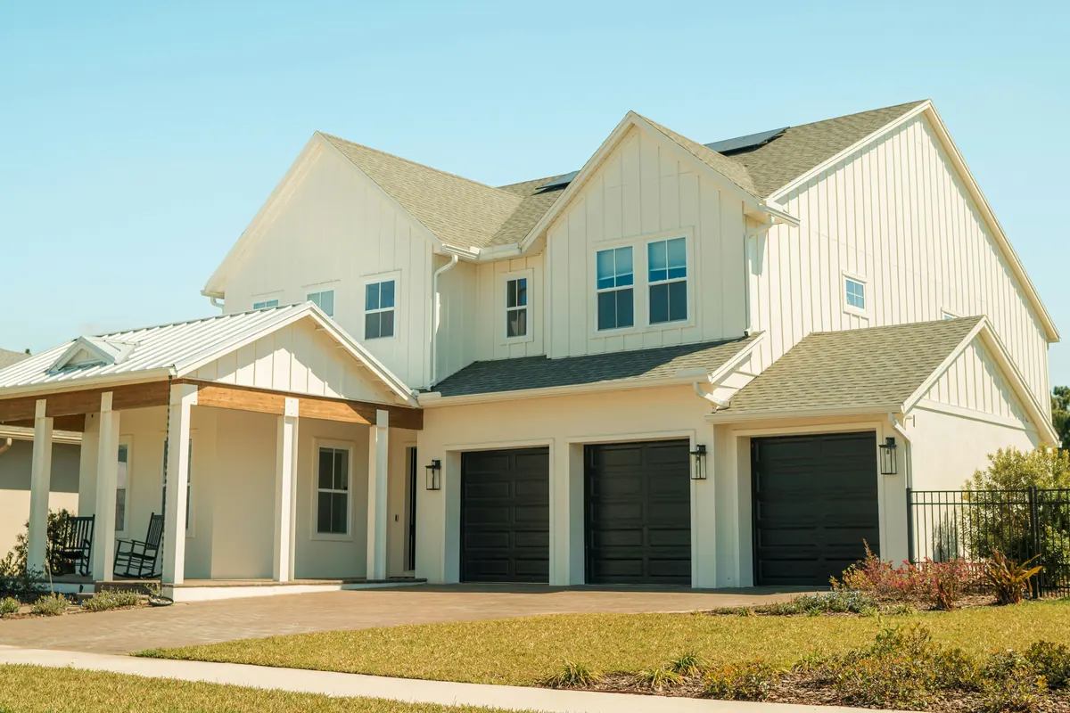
A large white house with two garages on the front of it
Eric Ardito
Unsplash License (opens in a new tab)
Source (opens in a new tab)Cropped to 3:2 at the left edge to remove a house-wrap logo on the neighboring house, resized and converted to WebP. No color or sky edits.


Buying with Michael
A body of water surrounded by trees and houses
fr0ggy5
Unsplash License (opens in a new tab)
Source (opens in a new tab)Resized and converted to WebP and AVIF, with an upright 4:5 crop of the full height for phones. No color or sky edits. On phones, a 4:5 crop of the full height is shown.
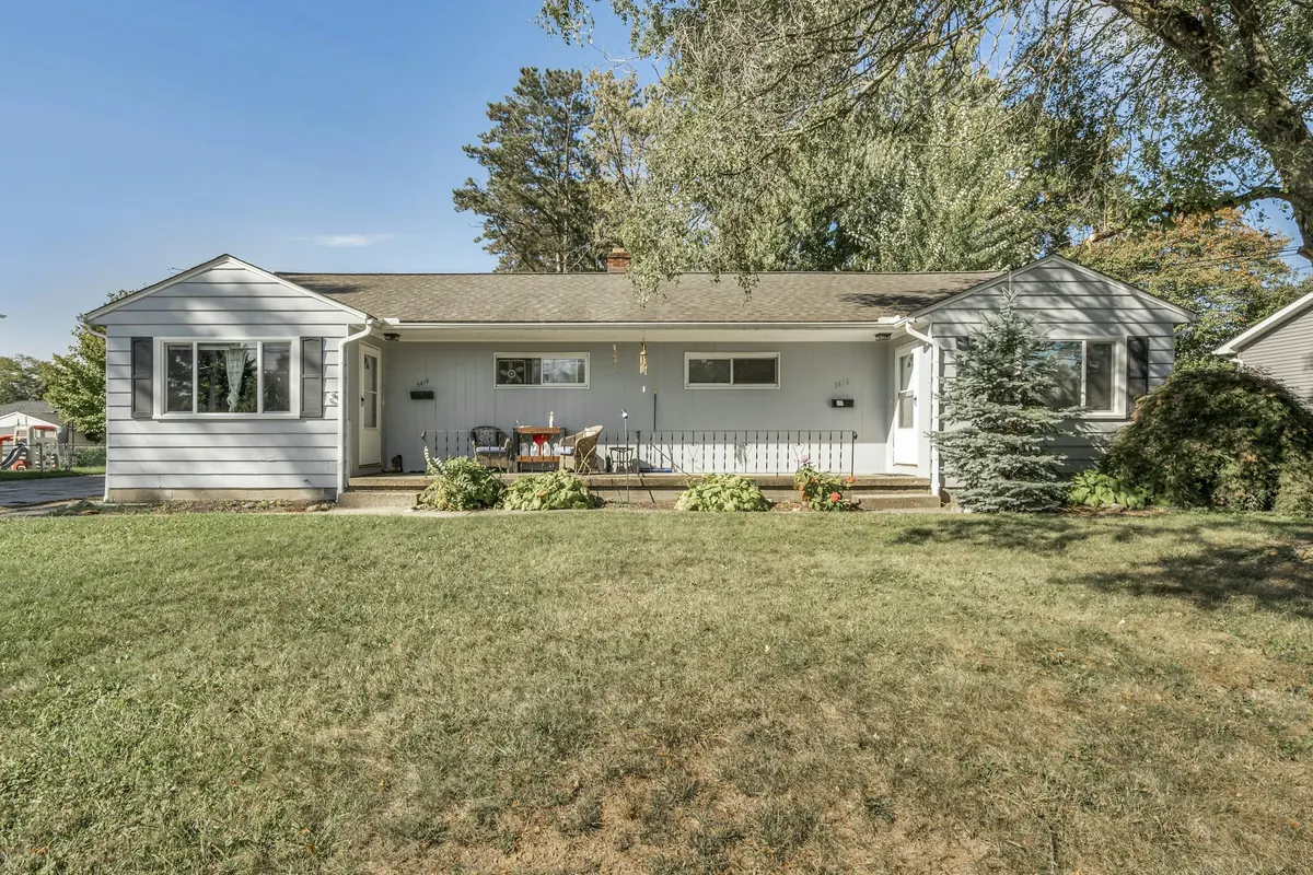
Renovated gray ranch house with a blue spruce
Josh Lemmon
Unsplash License (opens in a new tab)
Source (opens in a new tab)Resized and converted to WebP. No color or sky edits.
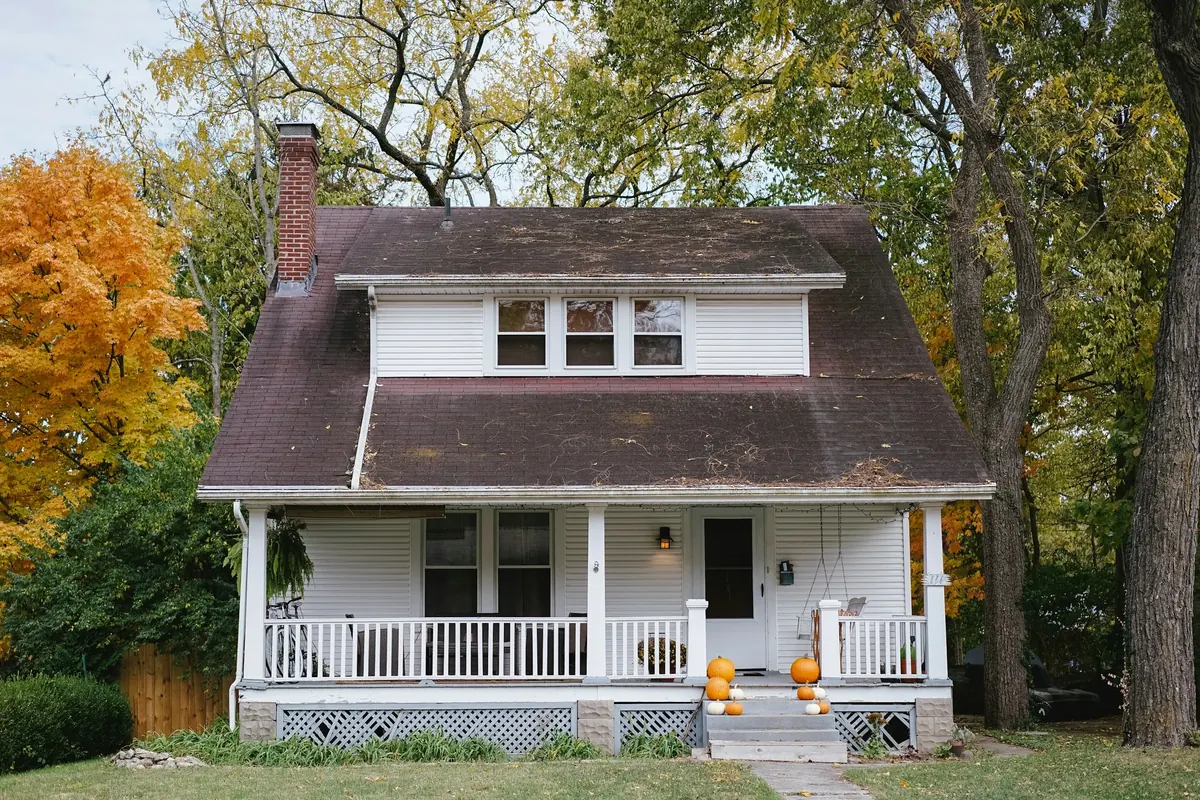
Craftsman house with a front porch
Phil Hearing
Unsplash License (opens in a new tab)
Source (opens in a new tab)Resized and converted to WebP. No color or sky edits.
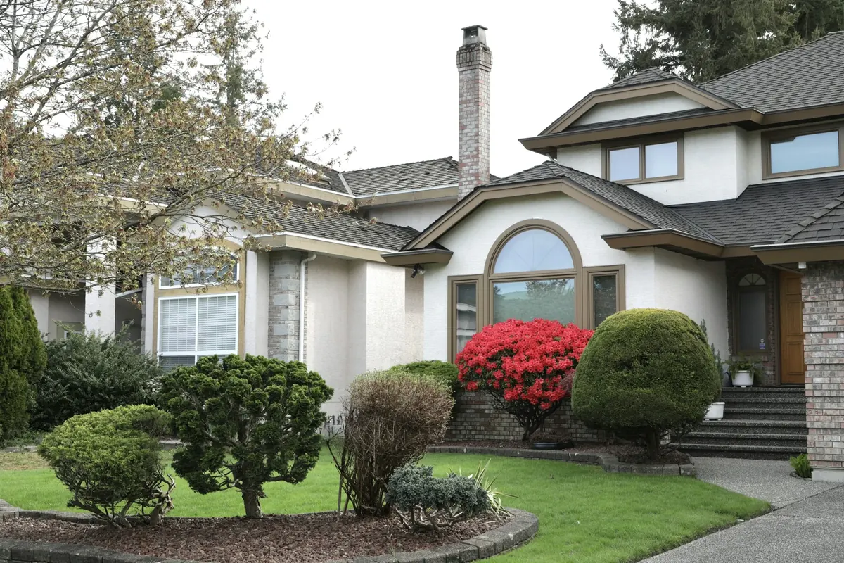
Two-story house with a covered entry
QY Liu
Unsplash License (opens in a new tab)
Source (opens in a new tab)Resized and converted to WebP. No color or sky edits.
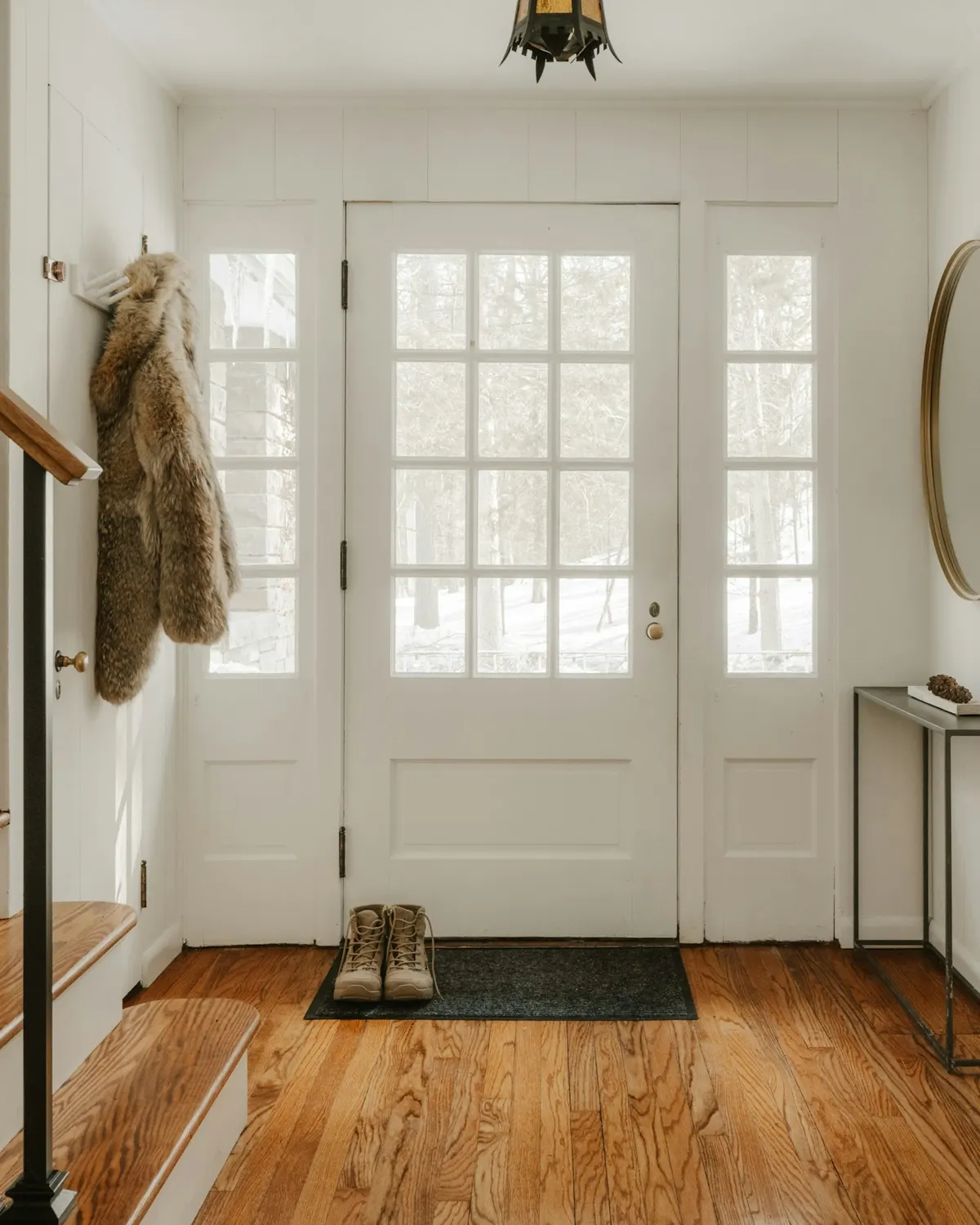
A cozy entryway with wooden stairs and a glass door
Clay Banks
Unsplash License (opens in a new tab)
Source (opens in a new tab)Cropped to 4:5 and converted to WebP and AVIF. No color or sky edits.
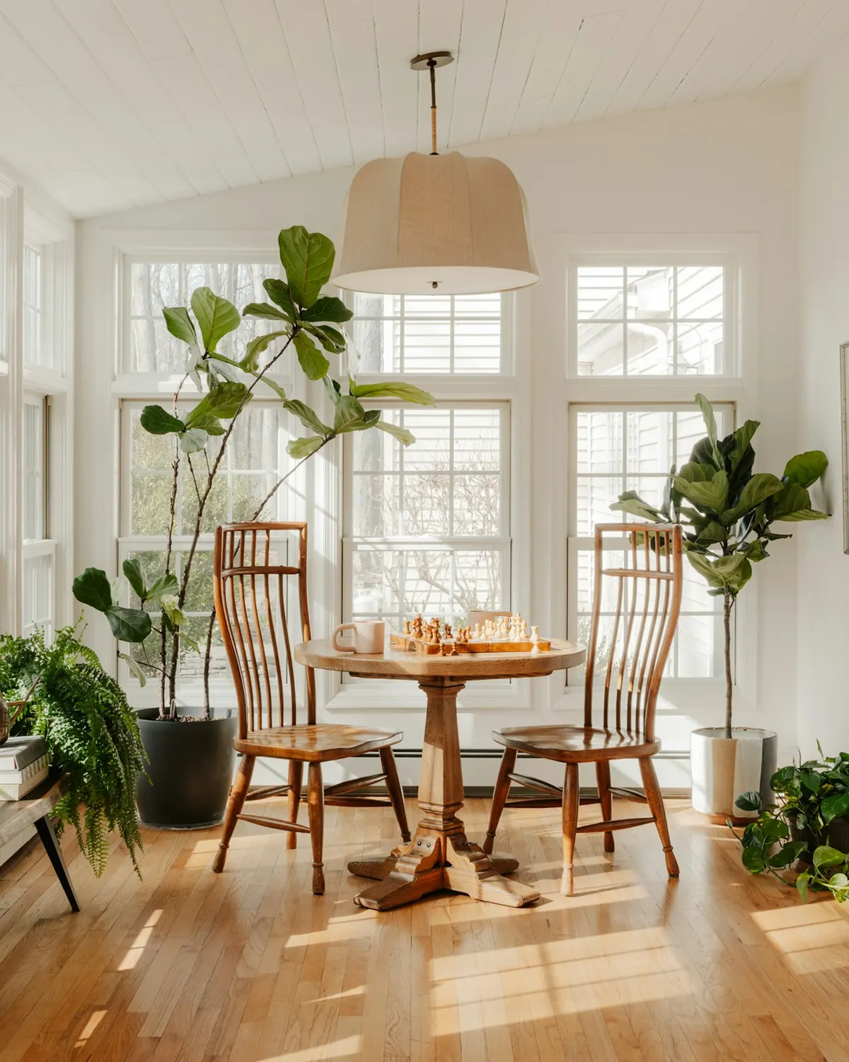
Bright sunroom with plants and dining table
Clay Banks
Unsplash License (opens in a new tab)
Source (opens in a new tab)Cropped to 4:5 and converted to WebP and AVIF. No color or sky edits.
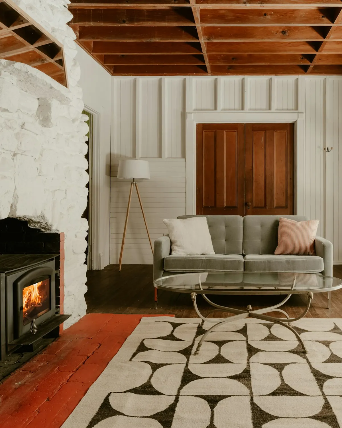
Living room with stone fireplace, patterned rug, red door
Clay Banks
Unsplash License (opens in a new tab)
Source (opens in a new tab)Cropped to 4:5 and converted to WebP and AVIF. No color or sky edits.
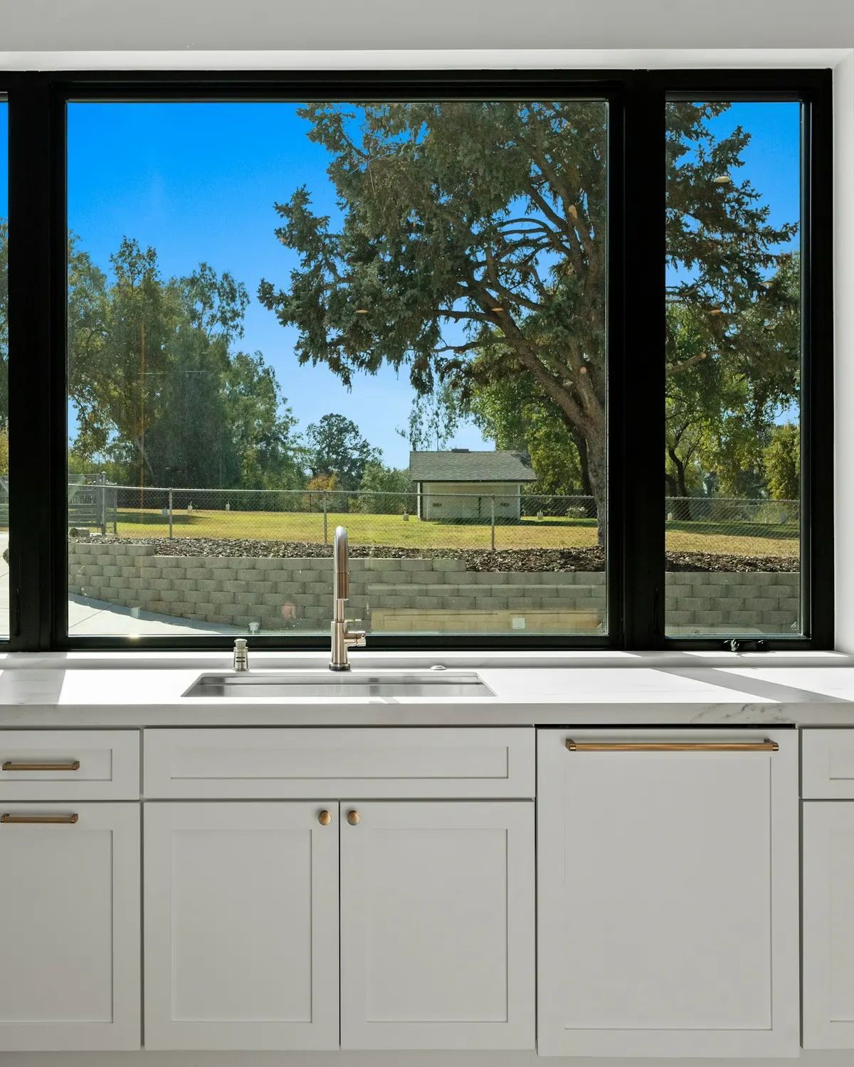
Kitchen sink and cabinets with a large window view
GoodLifeConstruction
Unsplash License (opens in a new tab)
Source (opens in a new tab)Cropped to 4:5 and converted to WebP and AVIF. No color or sky edits.
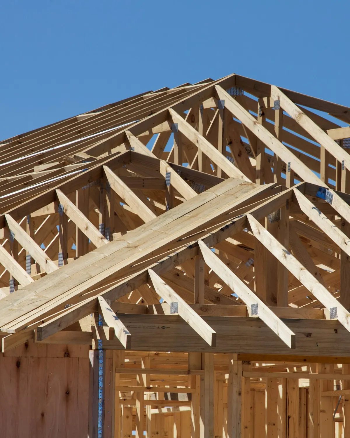
A house under construction with wooden framing
Troy Mortier
Unsplash License (opens in a new tab)
Source (opens in a new tab)Cropped to 4:5 and converted to WebP and AVIF. No color or sky edits.
Brown wooden rocking chair on porch beside closed French doors
Avi Werde
Unsplash License (opens in a new tab)
Source (opens in a new tab)Cropped to 4:5 and converted to WebP and AVIF. No color or sky edits.


Selling with Michael
A house with a driveway
Point3D Commercial Imaging Ltd.
Unsplash License (opens in a new tab)
Source (opens in a new tab)Resized and converted to WebP and AVIF, with an upright 4:5 crop of the full height for phones. No color or sky edits. On phones, a 4:5 crop of the full height is shown.
A living room filled with furniture and a wooden floor
Clay Banks
Unsplash License (opens in a new tab)
Source (opens in a new tab)Cropped to 4:5 and converted to WebP and AVIF. No color or sky edits.
Brown and black wooden 5-piece dining set
Francesca Tosolini
Unsplash License (opens in a new tab)
Source (opens in a new tab)Cropped to 4:5 and converted to WebP and AVIF. No color or sky edits.

A bunch of keys sitting on top of a wooden table
Filip Szalbot
Unsplash License (opens in a new tab)
Source (opens in a new tab)Cropped to 4:5, leaving out a stamped key maker's name, and converted to WebP and AVIF. No color edits.
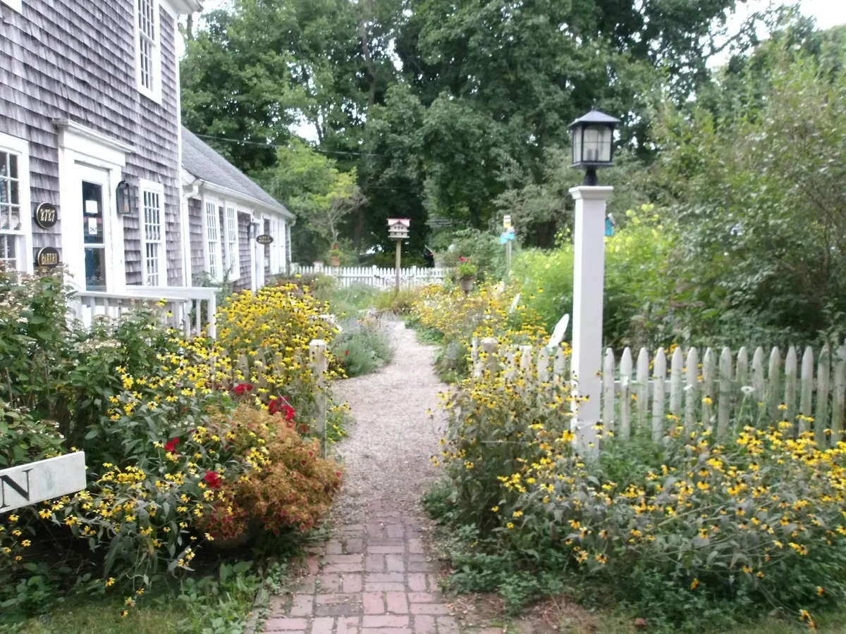
A brick path leads through a garden with flowers
Matthew Moloney
Unsplash License (opens in a new tab)
Source (opens in a new tab)Converted to WebP and AVIF. No color or sky edits.
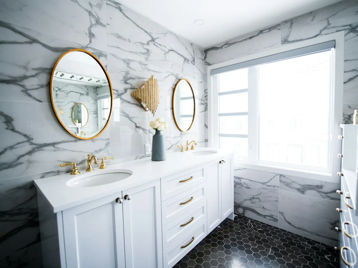
A bathroom with two sinks and a large mirror
Christian Mackie
Unsplash License (opens in a new tab)
Source (opens in a new tab)Cropped to 4:3 and converted to WebP and AVIF. No color or sky edits.
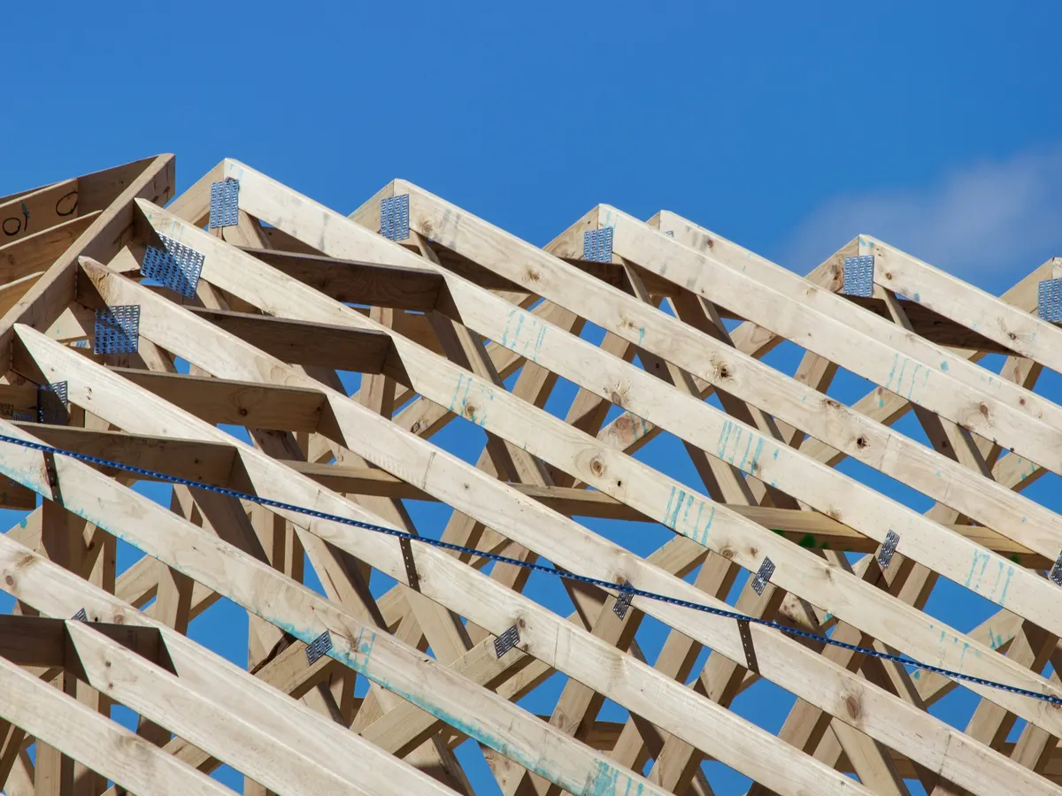
A wooden structure with a sky background
Troy Mortier
Unsplash License (opens in a new tab)
Source (opens in a new tab)Cropped to 4:3 and converted to WebP and AVIF. No color or sky edits.
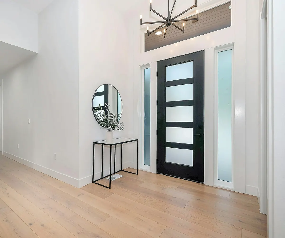
Black round wall mirror on white wall
Zac Gudakov
Unsplash License (opens in a new tab)
Source (opens in a new tab)Cropped to 6:5 and converted to WebP and AVIF. No color edits.
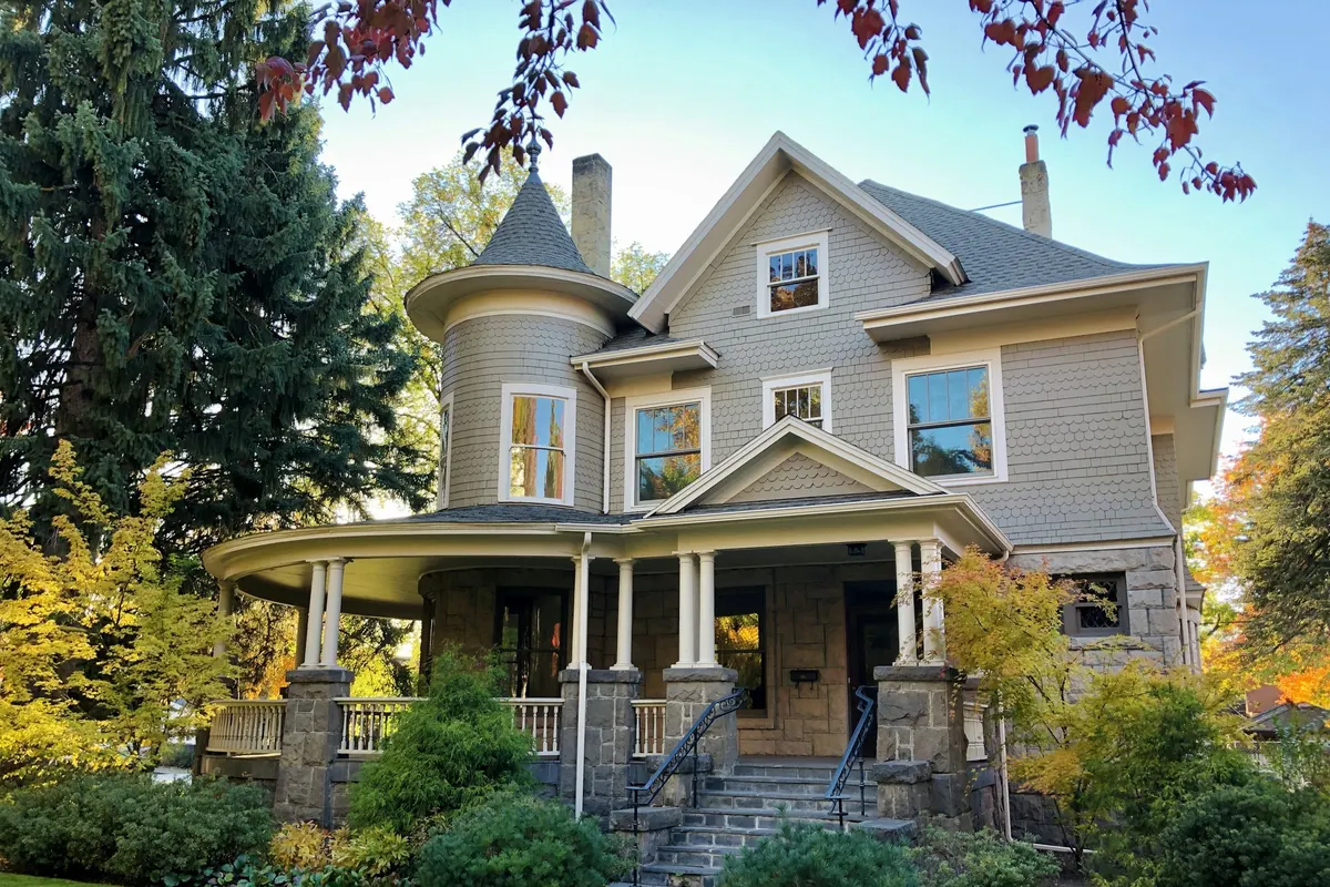
A large house with a front yard
Brett Wharton
Unsplash License (opens in a new tab)
Source (opens in a new tab)Cropped to 3:2 and converted to WebP and AVIF. No color or sky edits.


A second look
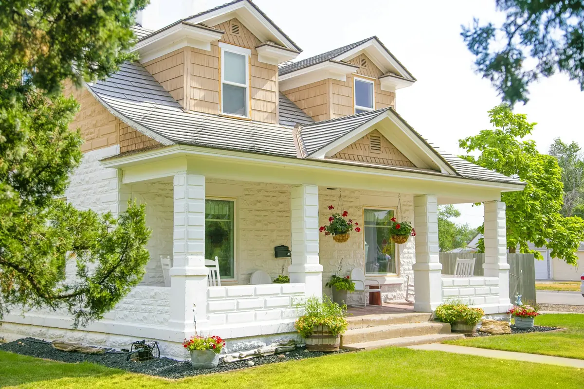
White and brown concrete house
Ian MacDonald
Unsplash License (opens in a new tab)
Source (opens in a new tab)Resized and converted to WebP. No color or sky edits.
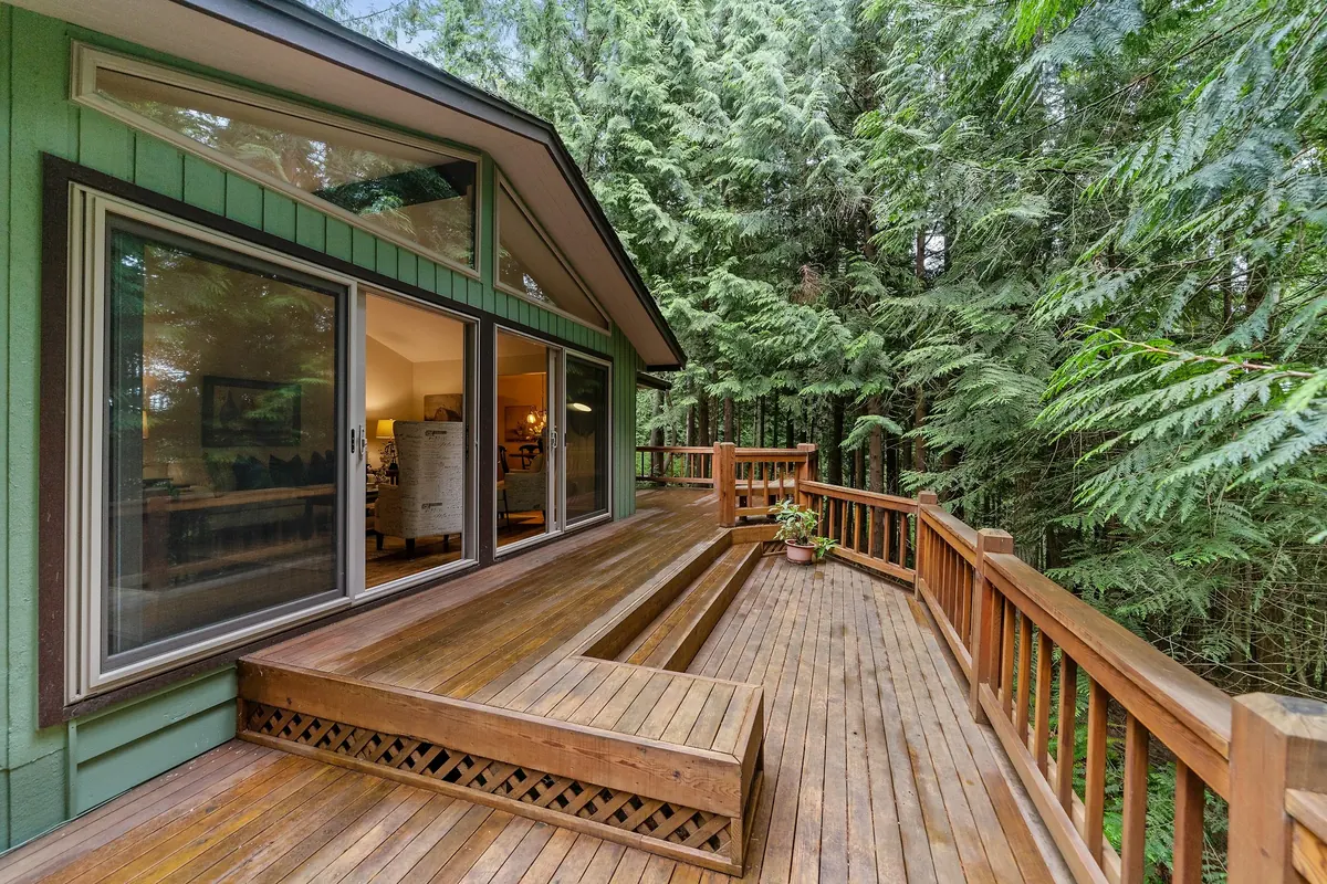
House with a deck beneath fir trees
Im3rd Media
Unsplash License (opens in a new tab)
Source (opens in a new tab)Resized and converted to WebP. No color or sky edits.
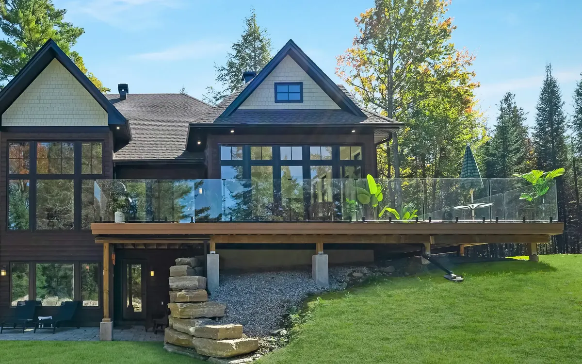
Modern house with deck and patio
Eli Chamoun
Unsplash License (opens in a new tab)
Source (opens in a new tab)Cropped to remove a window showing a sign, resized and converted to WebP. No color or sky edits. On phones, a 4:5 crop of the full height is shown.
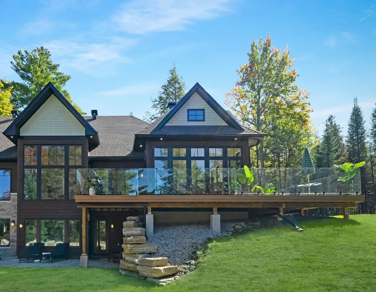
Modern house with deck and patio
Eli Chamoun
Unsplash License (opens in a new tab)
Source (opens in a new tab)The A second look page's opening crop: taller, with the sky and trees above the roof, and cropped to leave out a window reflection. Resized and converted to WebP and AVIF. No color or sky edits. On phones, a 4:5 crop of the full height is shown.
Brown paint brush on white and red plaid textile
Frank Sobolewski
Unsplash License (opens in a new tab)
Source (opens in a new tab)Converted to WebP and AVIF. No color or sky edits.


Home films

Drone footage of Space Needle
Mey Sam
Pexels License (opens in a new tab)
Source (opens in a new tab)Seconds 26 to 38. Trimmed to 12 seconds, audio removed, re-encoded H.264 at 1600x900 and 540x960 (center crop), posters exported from the six-second frame so the full Space Needle remains in view. No color edits.
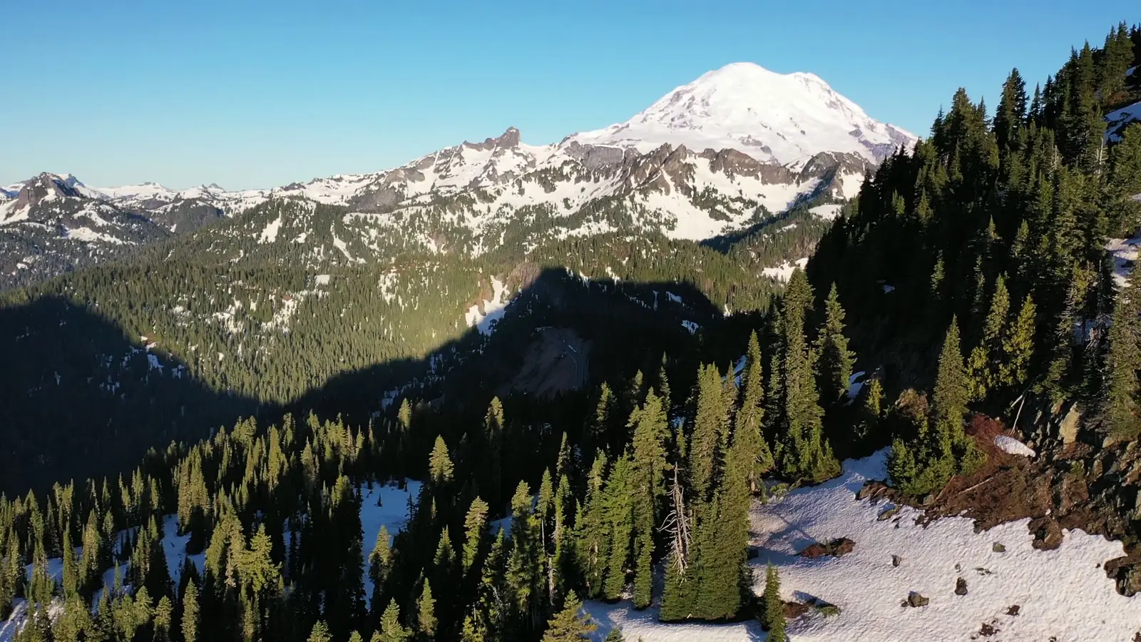
Drone footage of a mountains and trees
Dean Diemert
Pexels License (opens in a new tab)
Source (opens in a new tab)Trimmed to 12 seconds, sound removed, resized for web, phone version cropped to vertical. No color or sky edits.
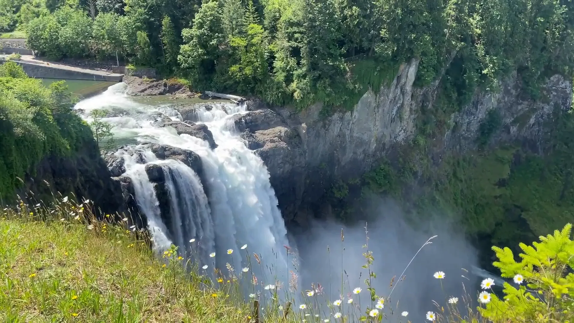
View of waterfall from above
Kaushik Mahadevan
Pexels License (opens in a new tab)
Source (opens in a new tab)Seconds 5.5 to 14.5 only (9 seconds, the steady stretch), audio removed from the film, re-encoded H.264 at 1920x1080; phone version is a full-height column centered 35% from the left of the frame (608x1080 of the source, drawn at 720x1280); posters taken at six seconds. No color edits. The sound of the falls is the clip's own recording: seconds 1 to 19 made into a 16-second loop with a 2-second crossfade, leveled to -18 LUFS, AAC 96 kbps; nothing added.

Map data
Terrain Tiles on AWS (Terrarium format, zoom 10)
Heights for the relief model on the home page. Cropped to the area, resampled to 512 and 256 pixels wide, and the lakes set to their shoreline height.
- Mapzen
- ArcticDEM terrain data DEM(s) were created from DigitalGlobe, Inc., imagery and funded under National Science Foundation awards 1043681, 1559691, and 1542736;
- Australia terrain data © Commonwealth of Australia (Geoscience Australia) 2017;
- Austria terrain data © offene Daten Österreichs – Digitales Geländemodell (DGM) Österreich;
- Canada terrain data contains information licensed under the Open Government Licence – Canada;
- Europe terrain data produced using Copernicus data and information funded by the European Union - EU-DEM layers;
- Global ETOPO1 terrain data U.S. National Oceanic and Atmospheric Administration
- Mexico terrain data source: INEGI, Continental relief, 2016;
- New Zealand terrain data Copyright 2011 Crown copyright (c) Land Information New Zealand and the New Zealand Government (All rights reserved);
- Norway terrain data © Kartverket;
- United Kingdom terrain data © Environment Agency copyright and/or database right 2015. All rights reserved;
- United States 3DEP (formerly NED) and global GMTED2010 and SRTM terrain data courtesy of the U.S. Geological Survey.
OpenStreetMap lake outlines: Lake Washington, Lake Sammamish and Lake Union
Shorelines of the three lakes on the relief model, with Mercer Island cut out as land.
- © OpenStreetMap contributors